Great South Bay Prone Paddle
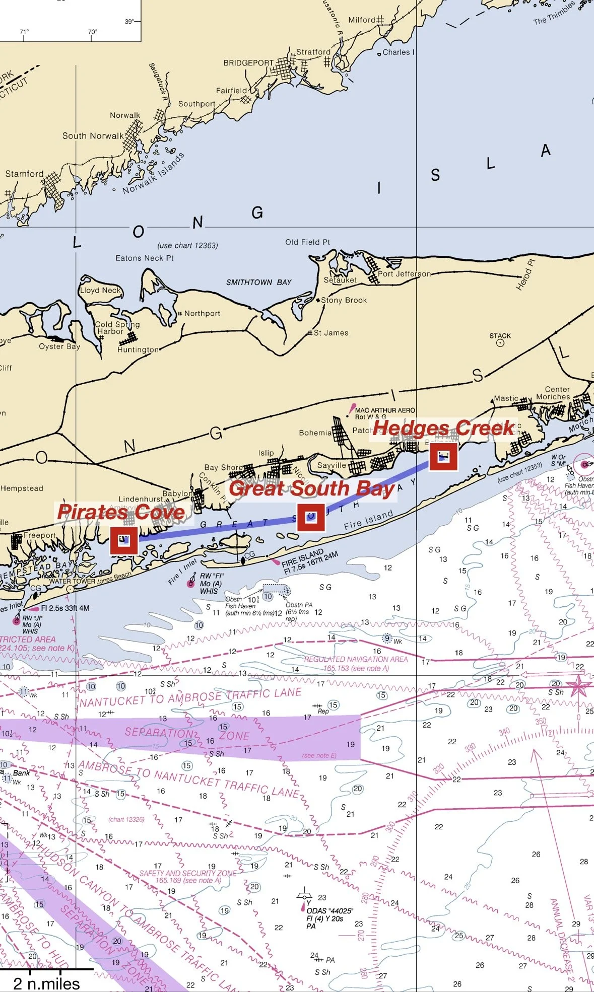
West to East
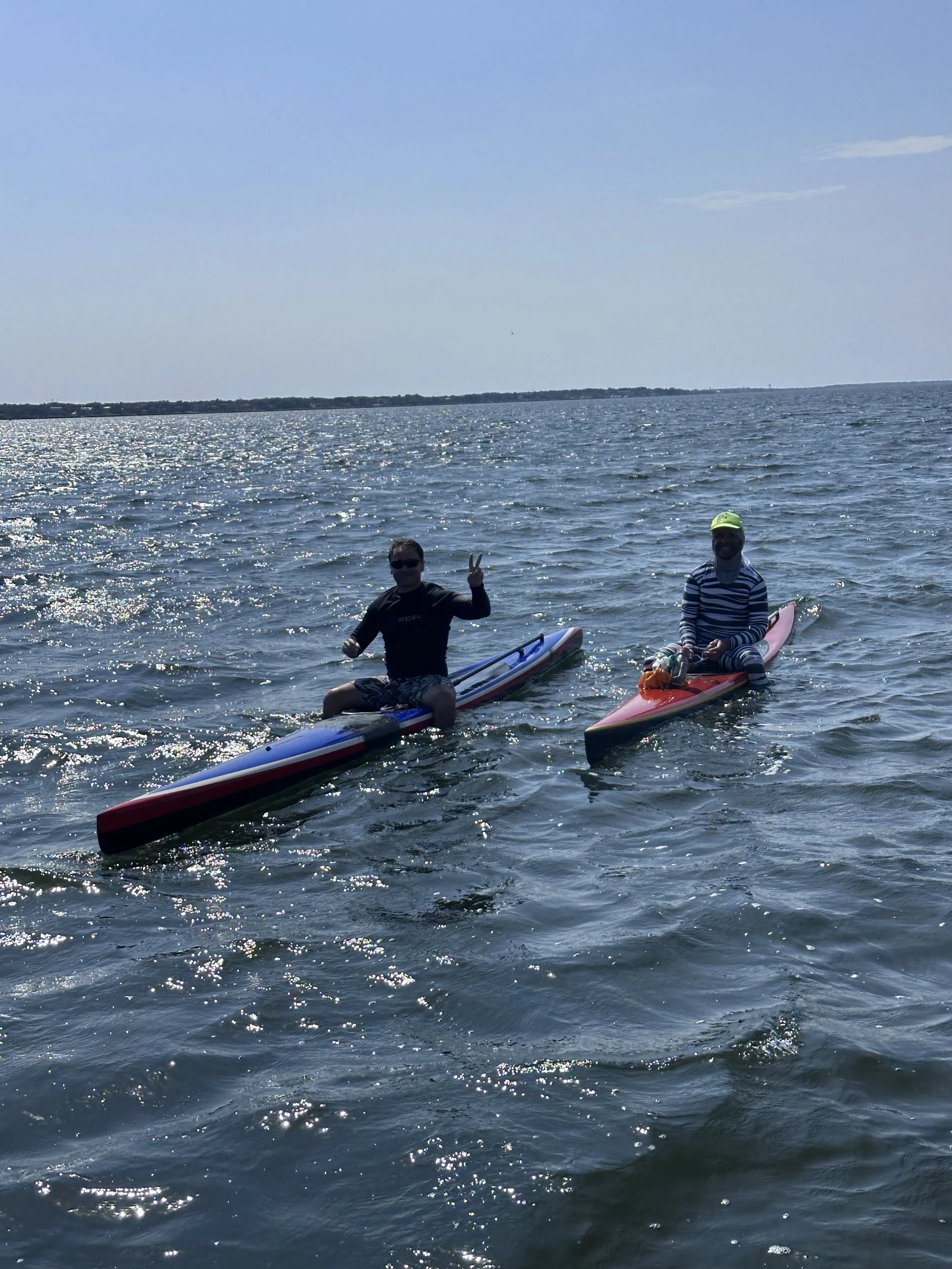
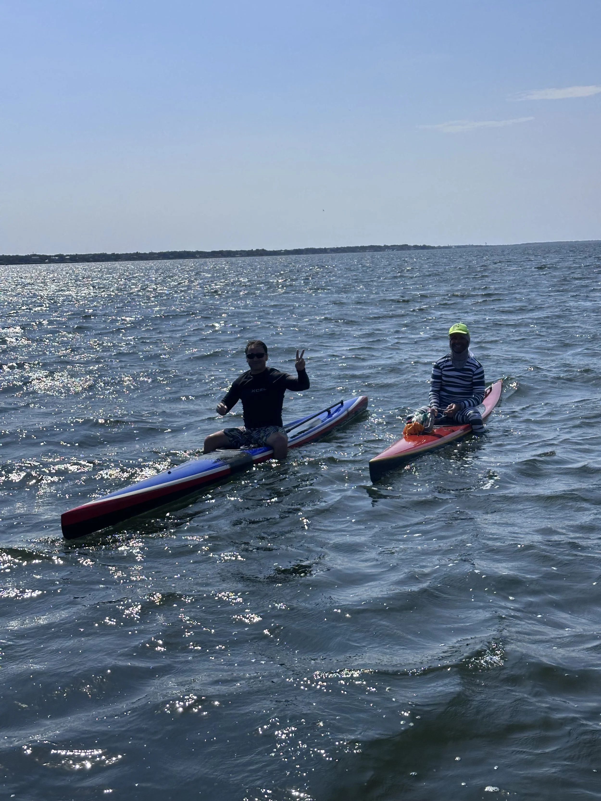
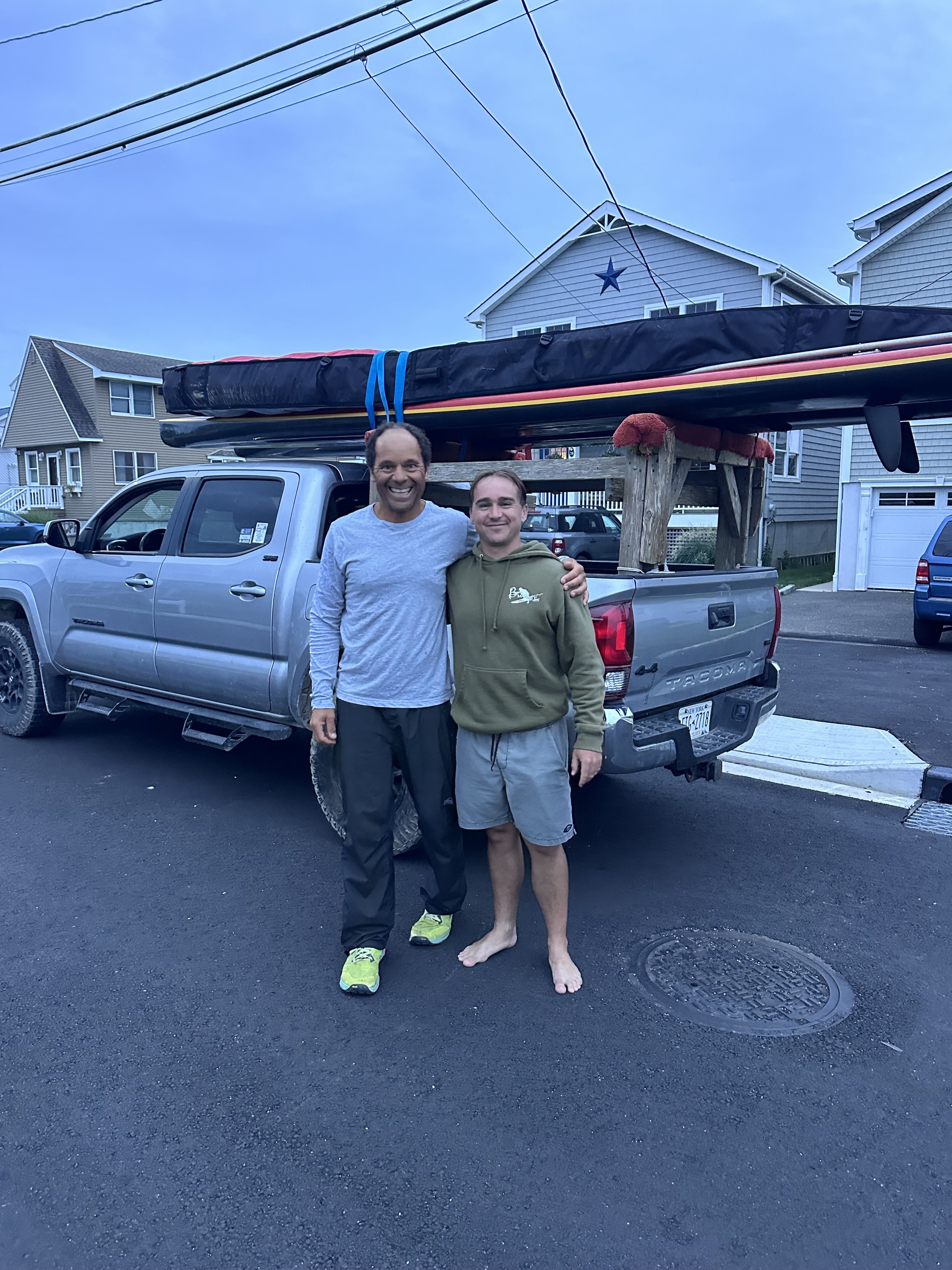
CORE Athletes: Kyle Stürmann and Jeremy Grosvenor
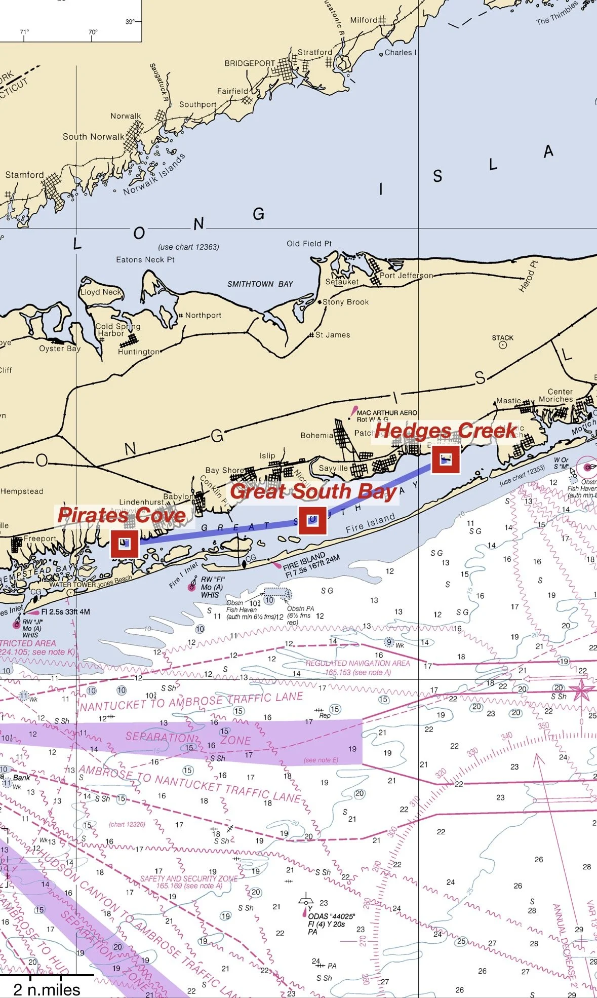
Start Point: Pirates Cove in East Massapequa
End Point: Hedges Creek in East Patchogue
Mode of Travel: Prone Paddle
Distance: 27 miles
Date of Completion: September 17, 2026
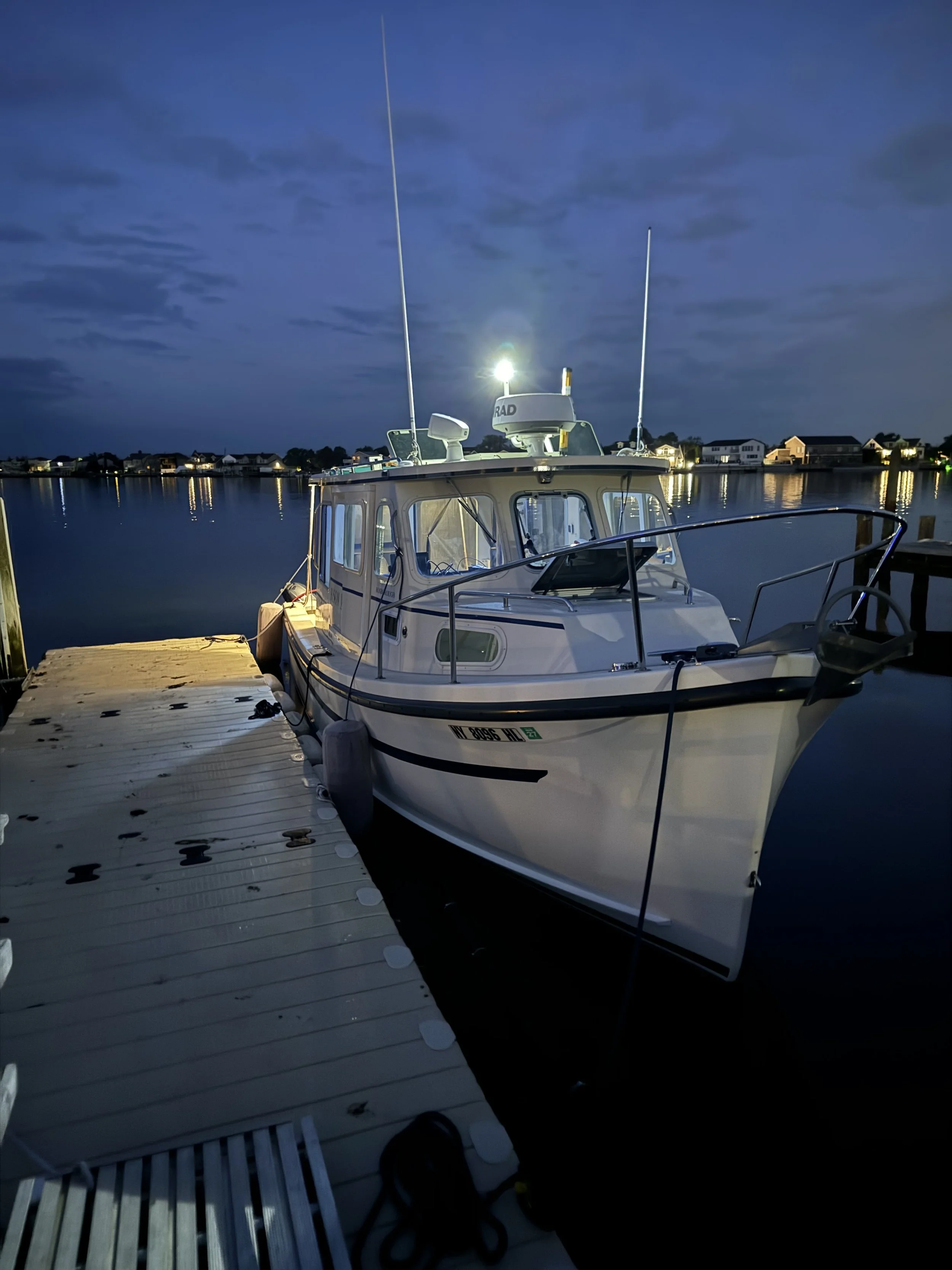
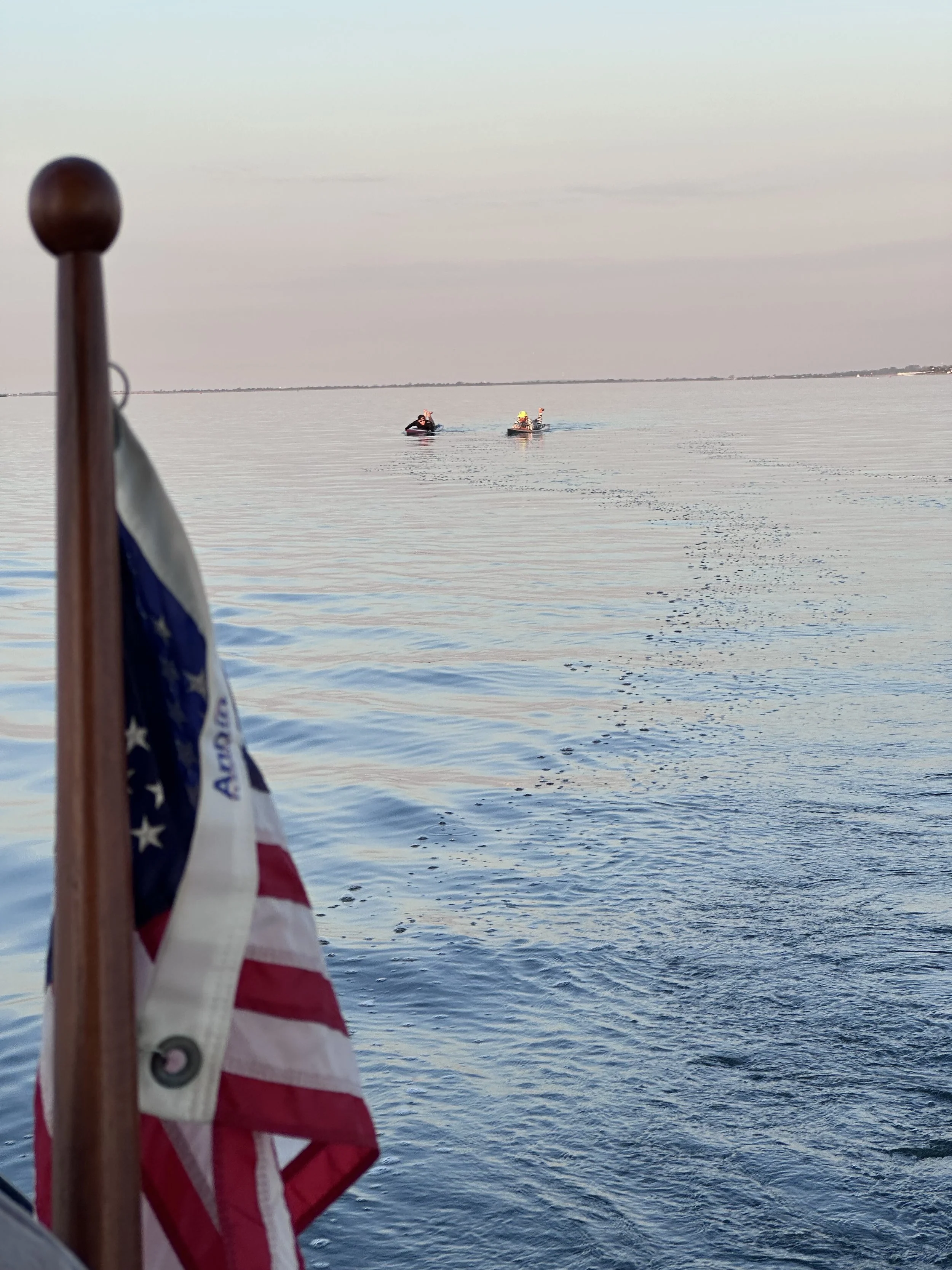
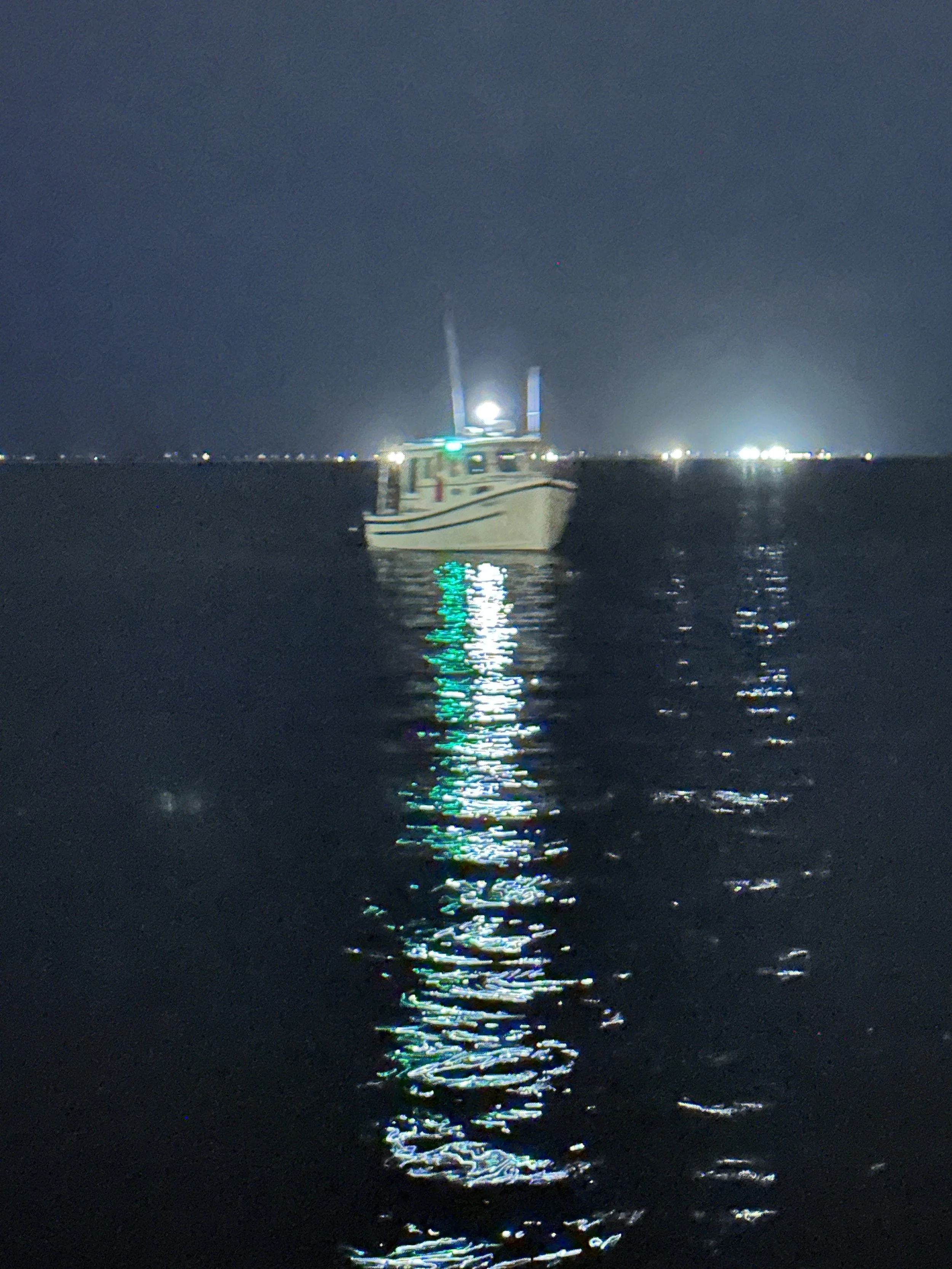
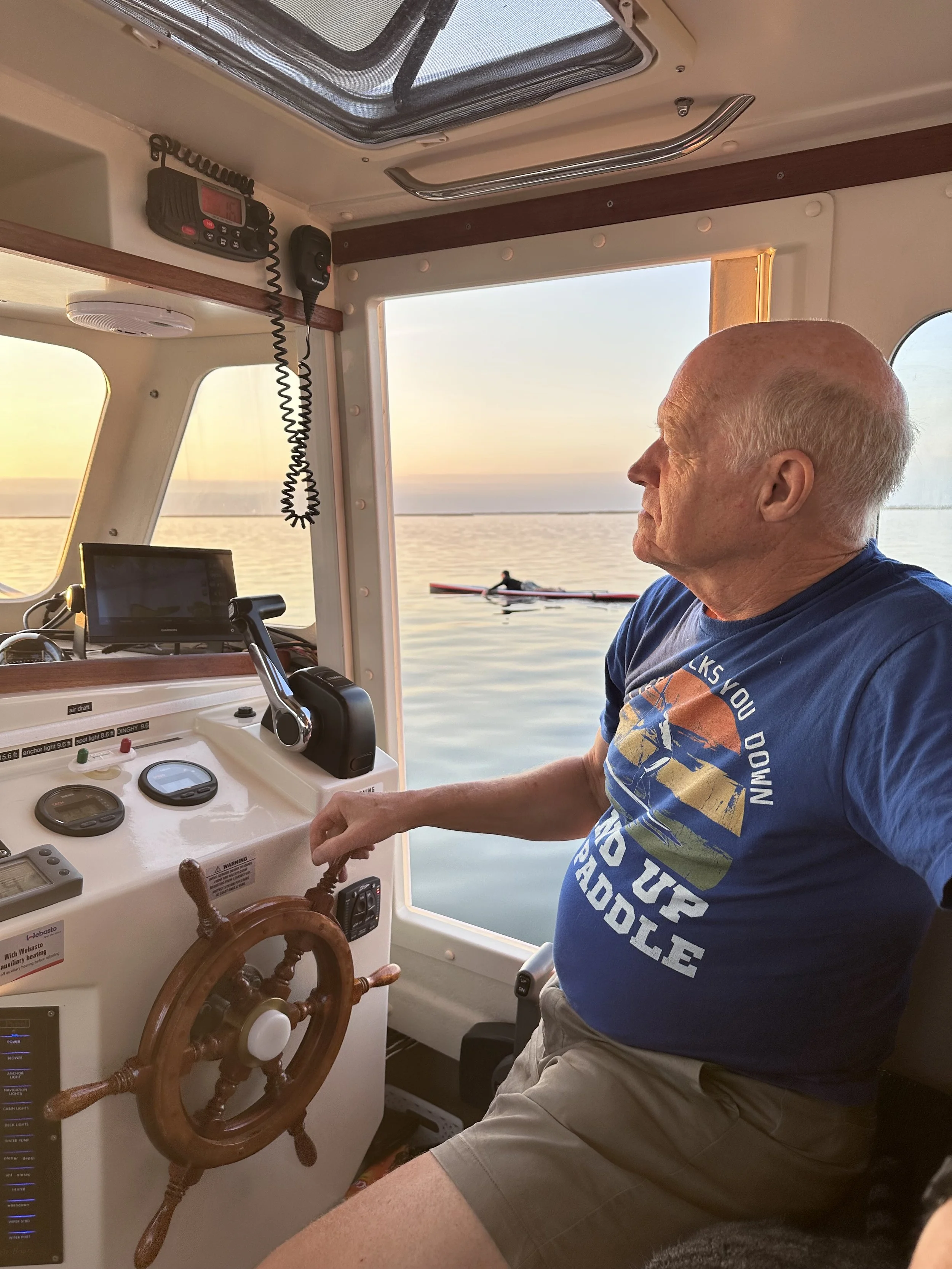
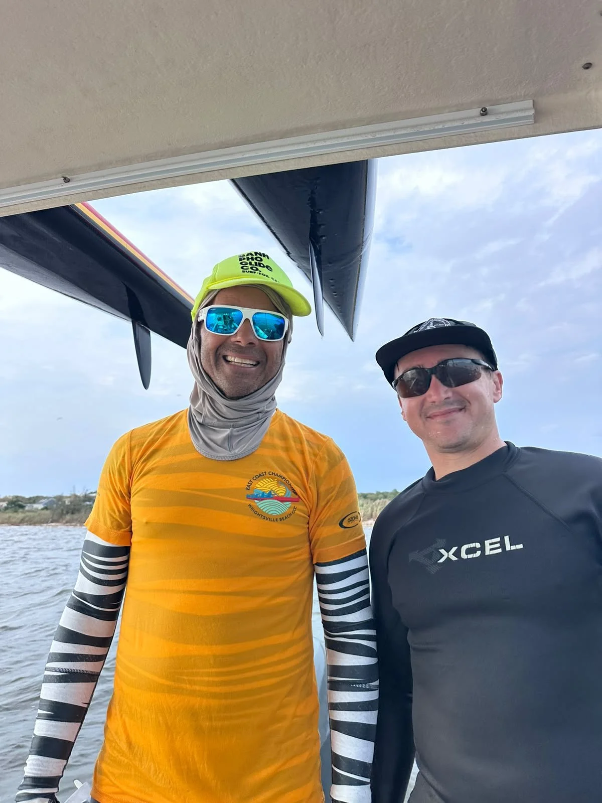
Levels of Support: Boat support: A 24.5 foot Rosborough “Bison 5” captained by John “Chad” Chadwick with crewman Kai Stürmann. Chad and Kai shared driver and spotter roles. They guided paddlers from paddle start point to paddle end point and then back to the start point with paddlers onboard.
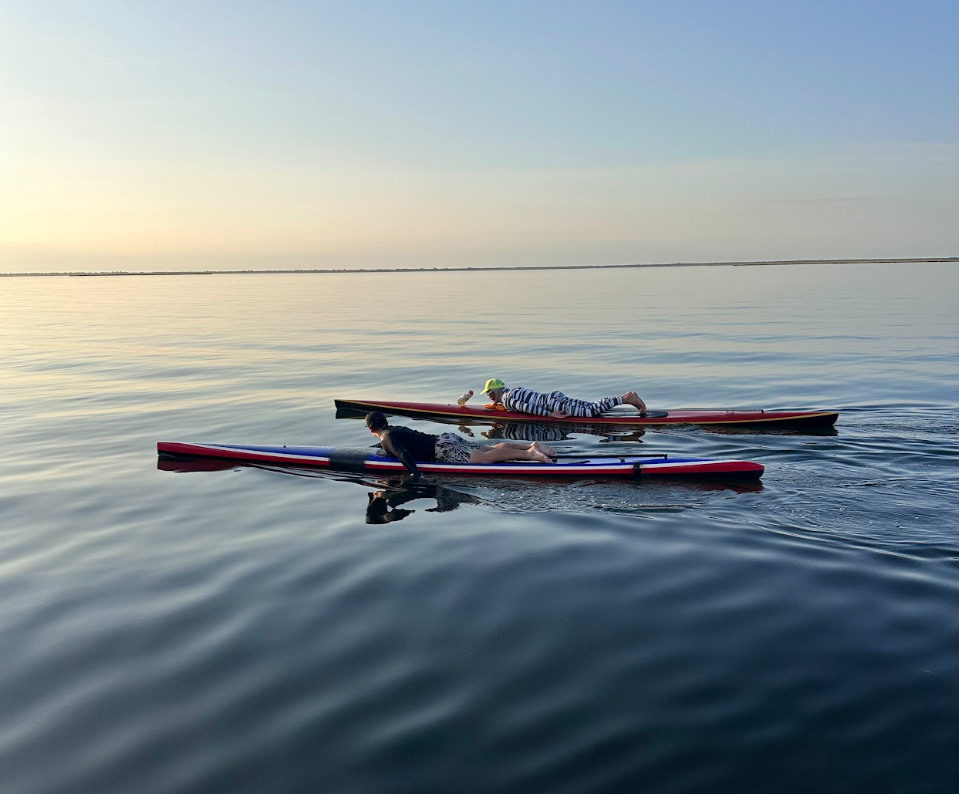
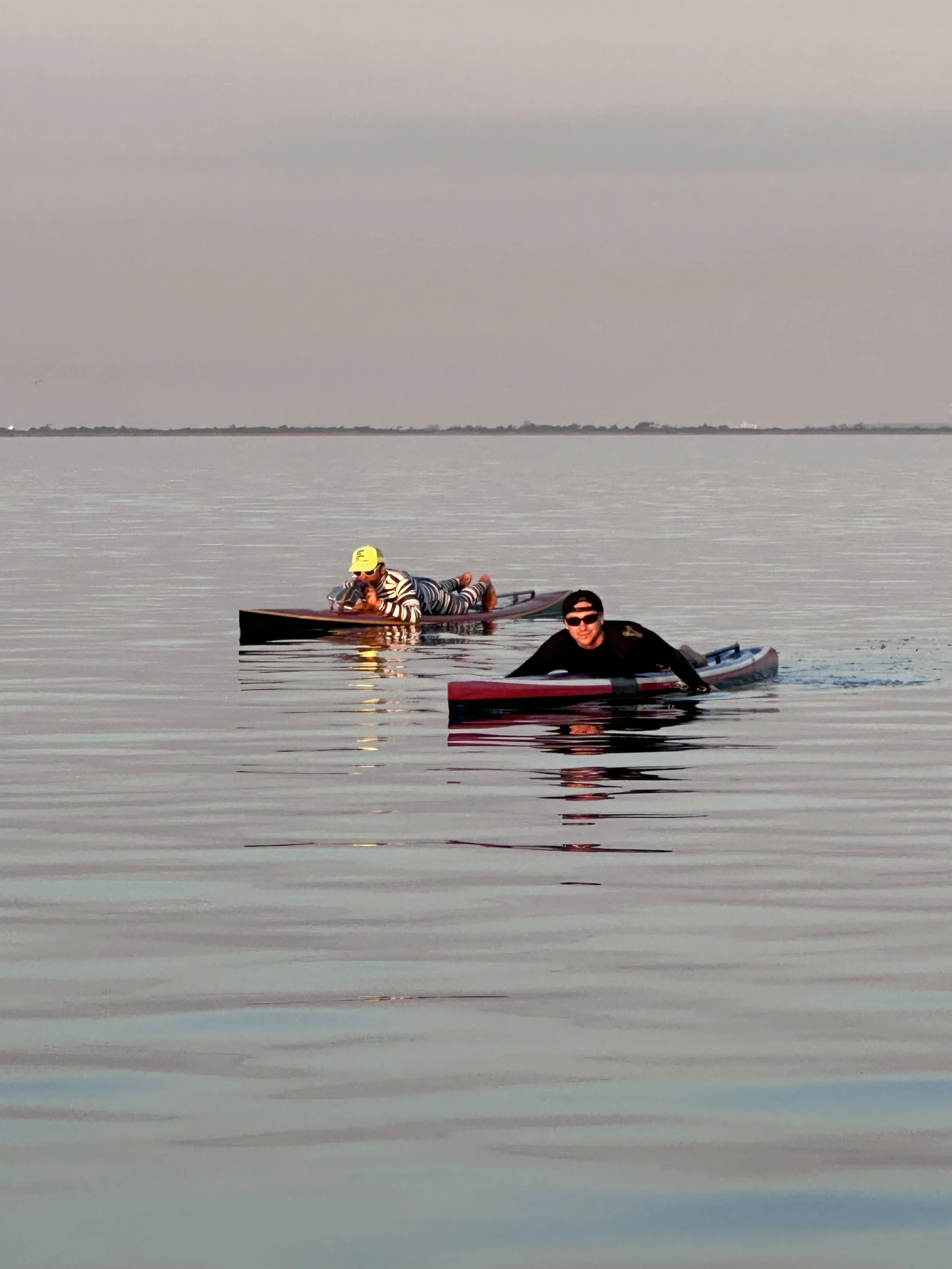
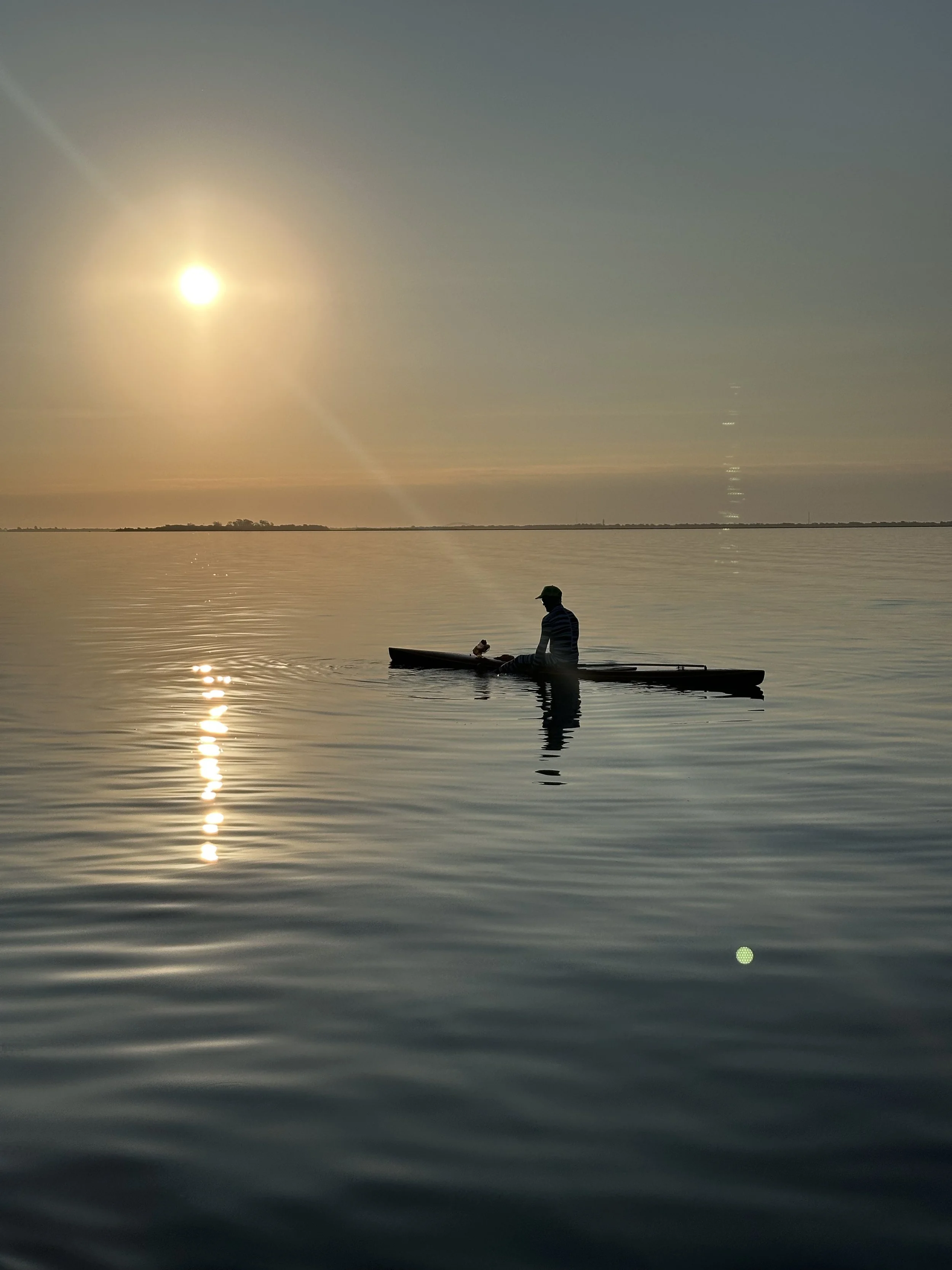
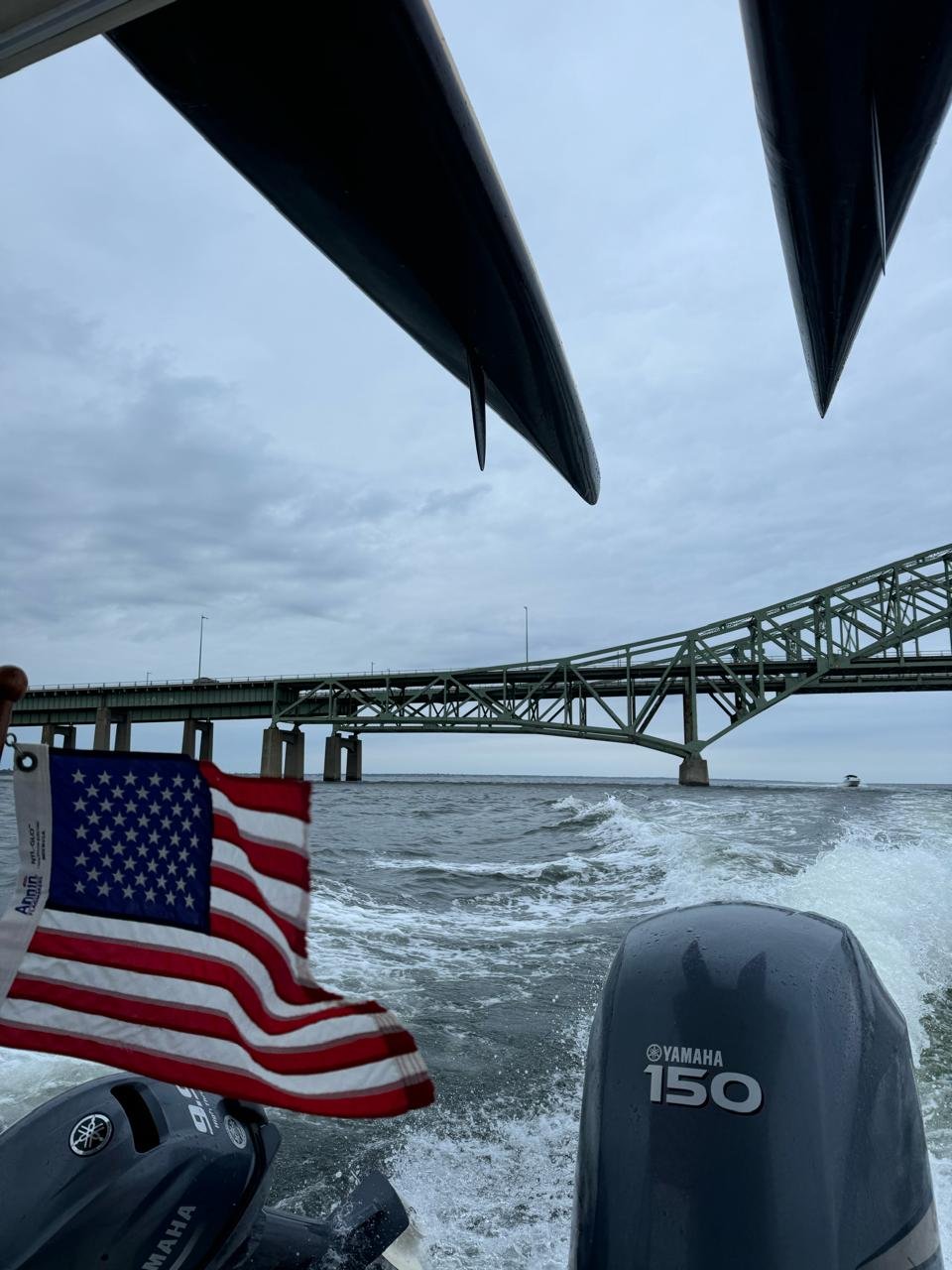
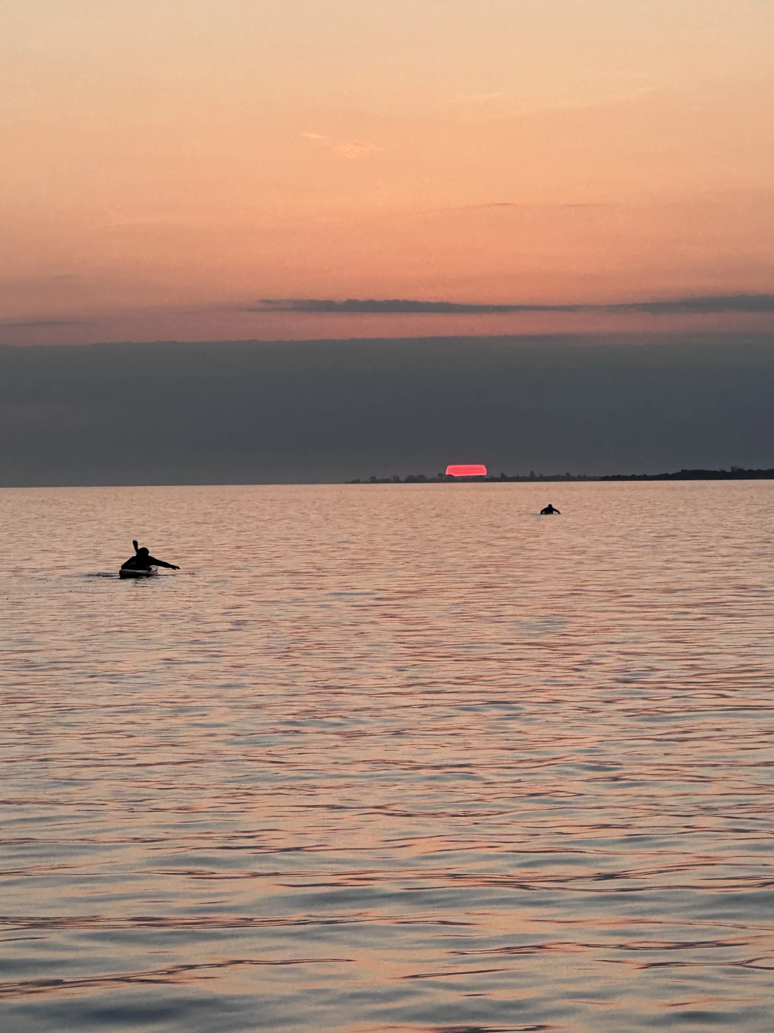
Trip Report / Additional Details: We left the dock from Kai's house in Pirates Cove, Massapequa at 6:10 AM. We headed southeast towards "Green Fly Island" south of Amityville and continued with sights set on the northern arch of the Great South Bay Bridge. We caught the sunrise just south of Babylon. Conditions were glassy until we were approaching the Great South Bridge, when a light southwest wind started to pick up. We passed under the bridge just north of Captree Island and then the winds increased to over 5 mph.
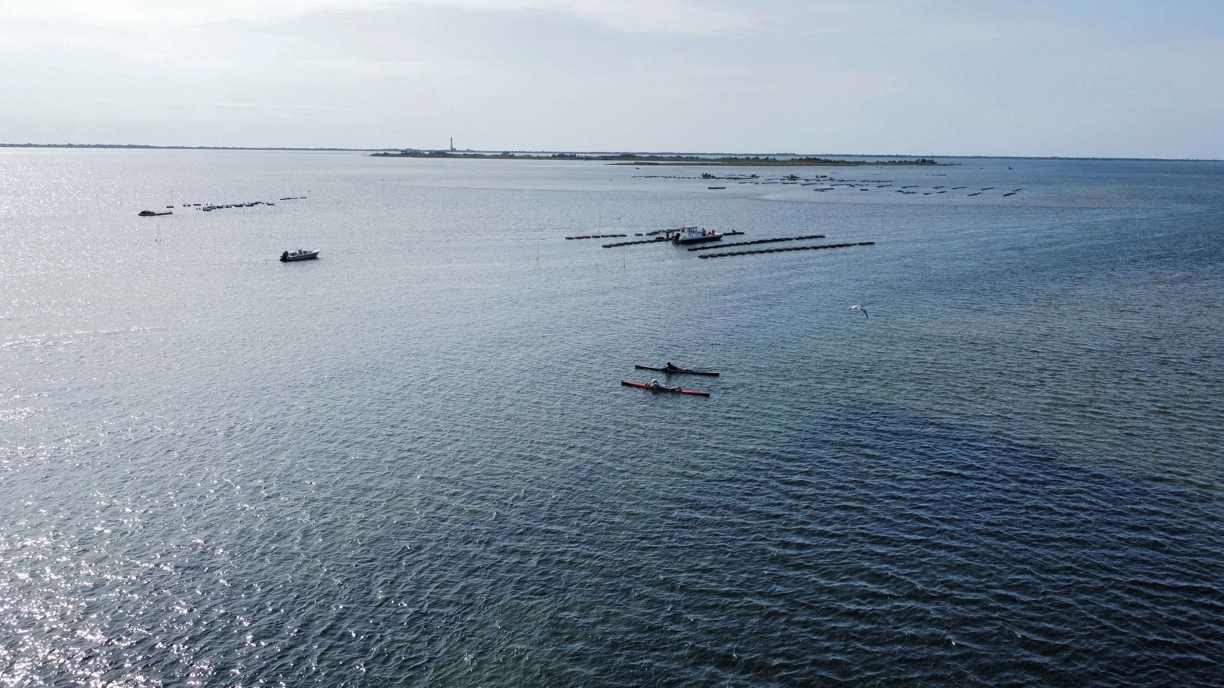
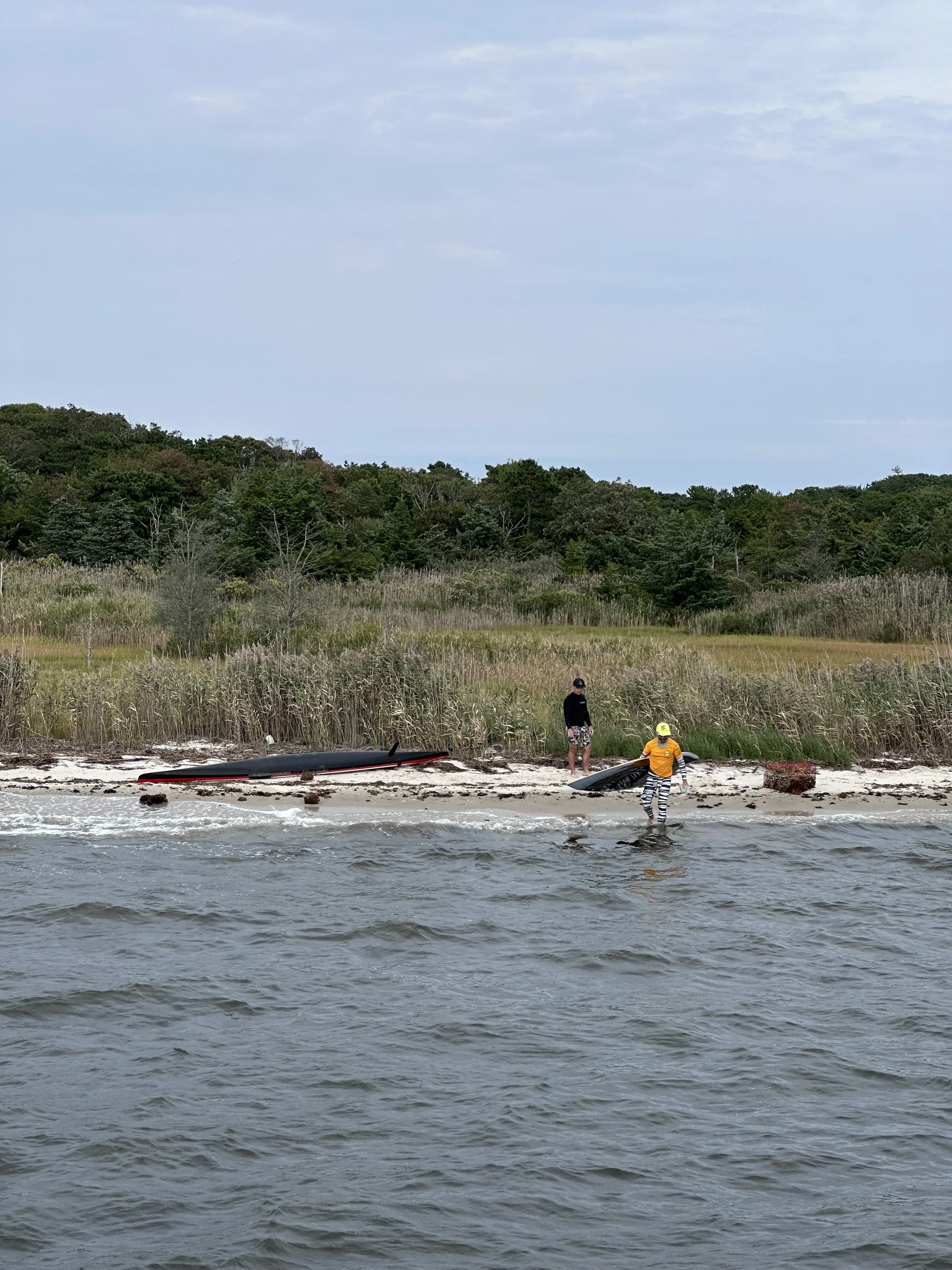
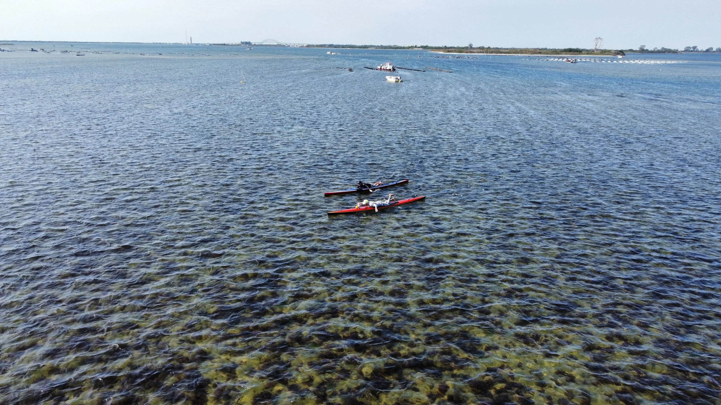
We encountered a part of the bay east of Captree Island and north of Sexton Island where the depths go to 1 feet or less. Our fins and hands were catching the sand so we had to walk the boards for about .05 miles to where it was deep enough to paddle again. It was really cool - we saw oyster crates and the water was crystal clear - but we recommend any paddlers or swimmers be aware of these particularly low points in the bay, especially if they are accompanied by a boat. Fortunately, Kai and Chad were able to avoid running aground.
We then paddled past several small marshy islands - East Fire Island, West Fire Island, Penny Island, and Money Island - on a southeast course towards the Fire Island National Seashore. We wanted to be more sheltered from the wind on the lee shore of the barrier island.
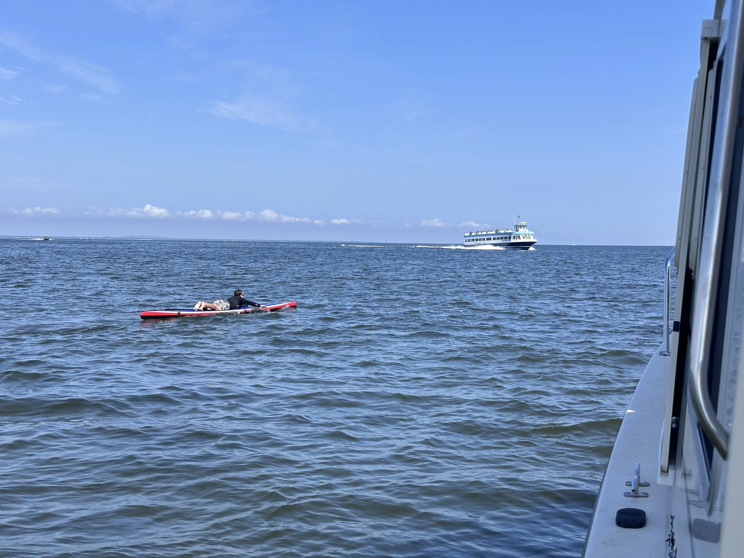
Once we were within a half mile of the Fire Island National Seashore by Point O’ Woods, we pointed our course northeast and paddled for about 10 miles. When we got to the Davis Park area of Fire Island, we started to aim our course more to the north. We were able to benefit from SW and S tailwinds during this stretch.
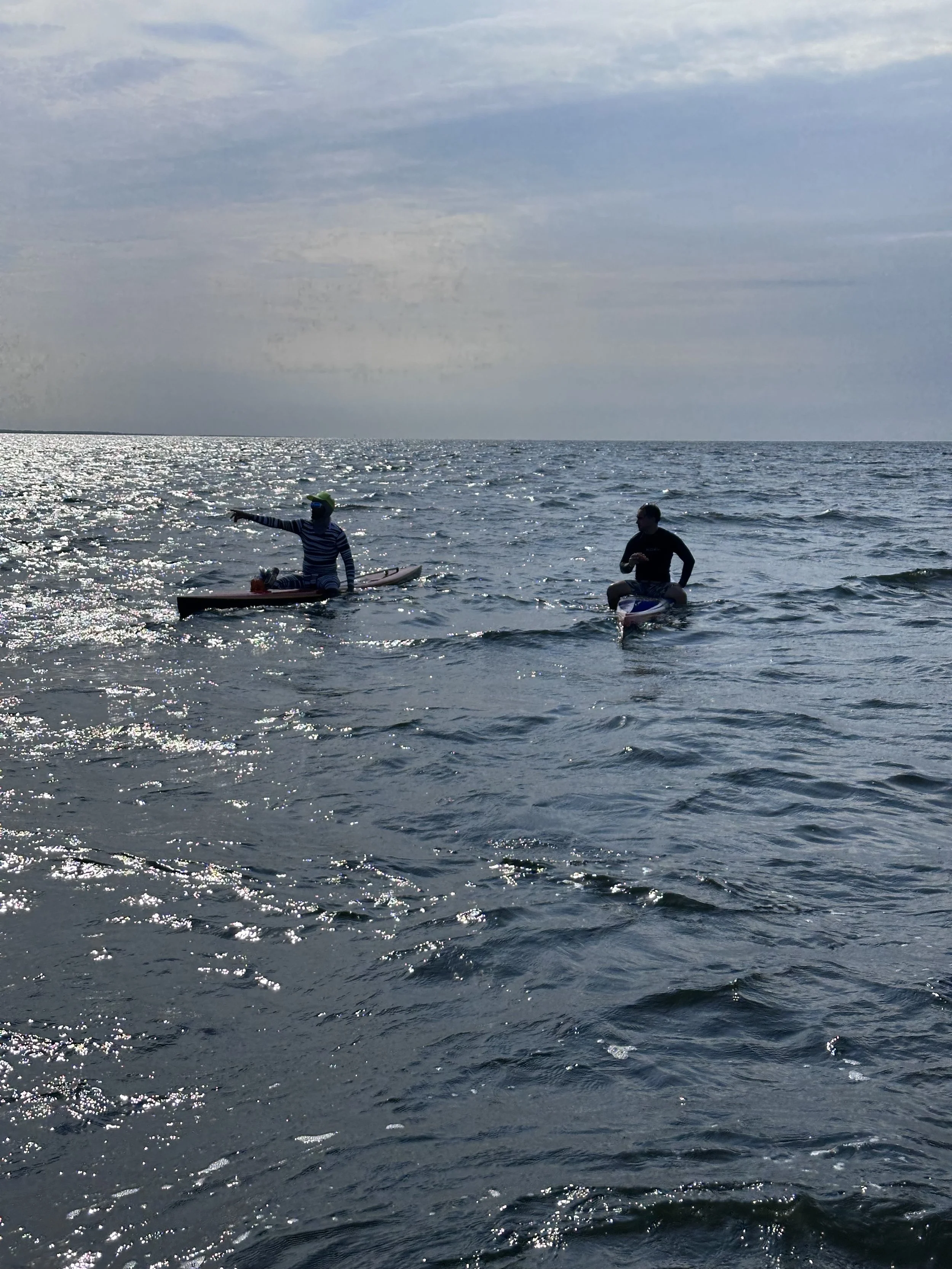
Just before 4:00 PM, Jeremy and Kai suggested making landfall near Howell Point in Bellport. Our original plan was to land near Manor of St. George in Shirley, but we still had nearly 5 miles to go. It was getting late, the bay was getting rough, and Kyle was slowing down, so we made a team decision to land to our north rather than pushing farther east.
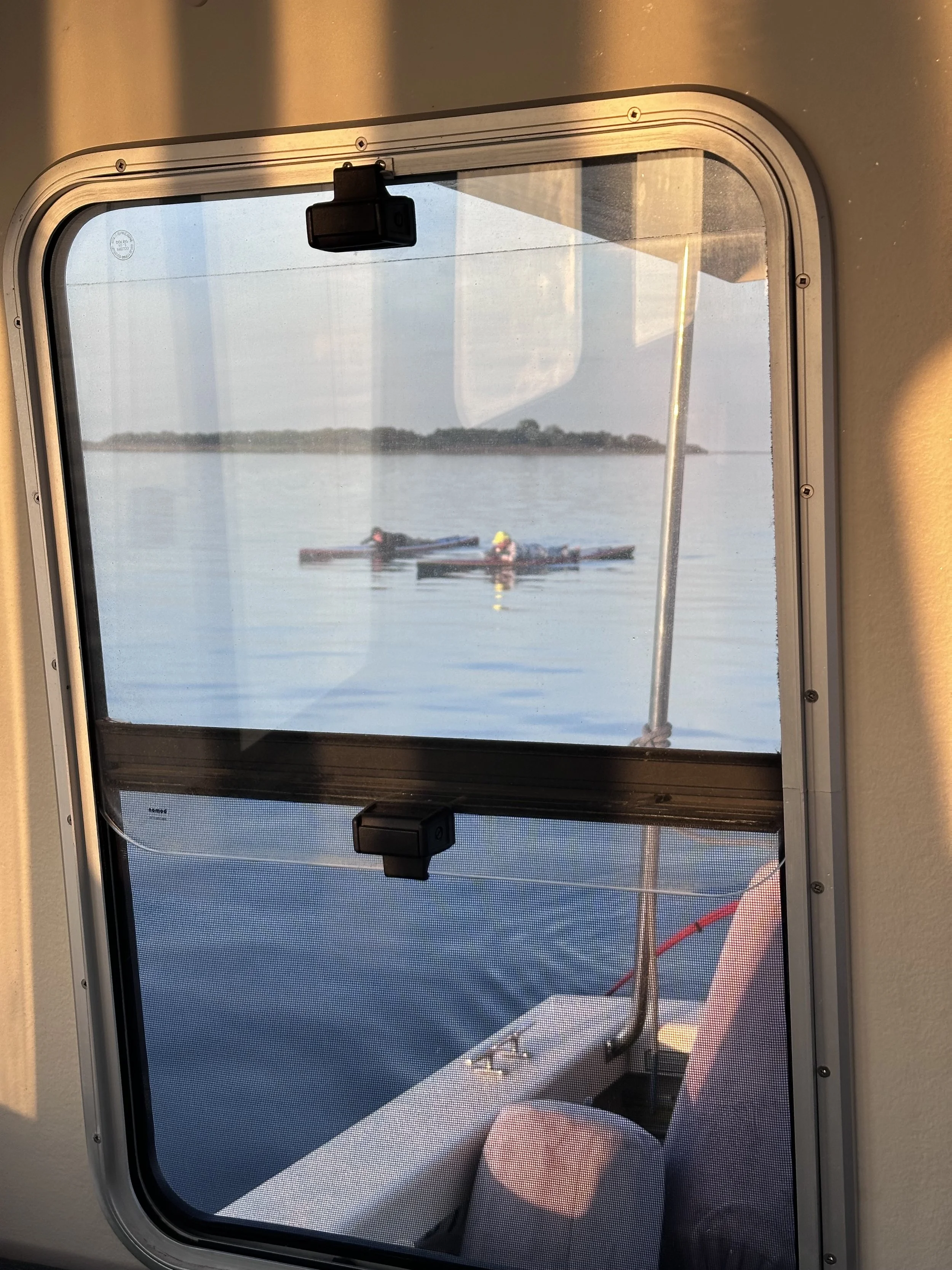
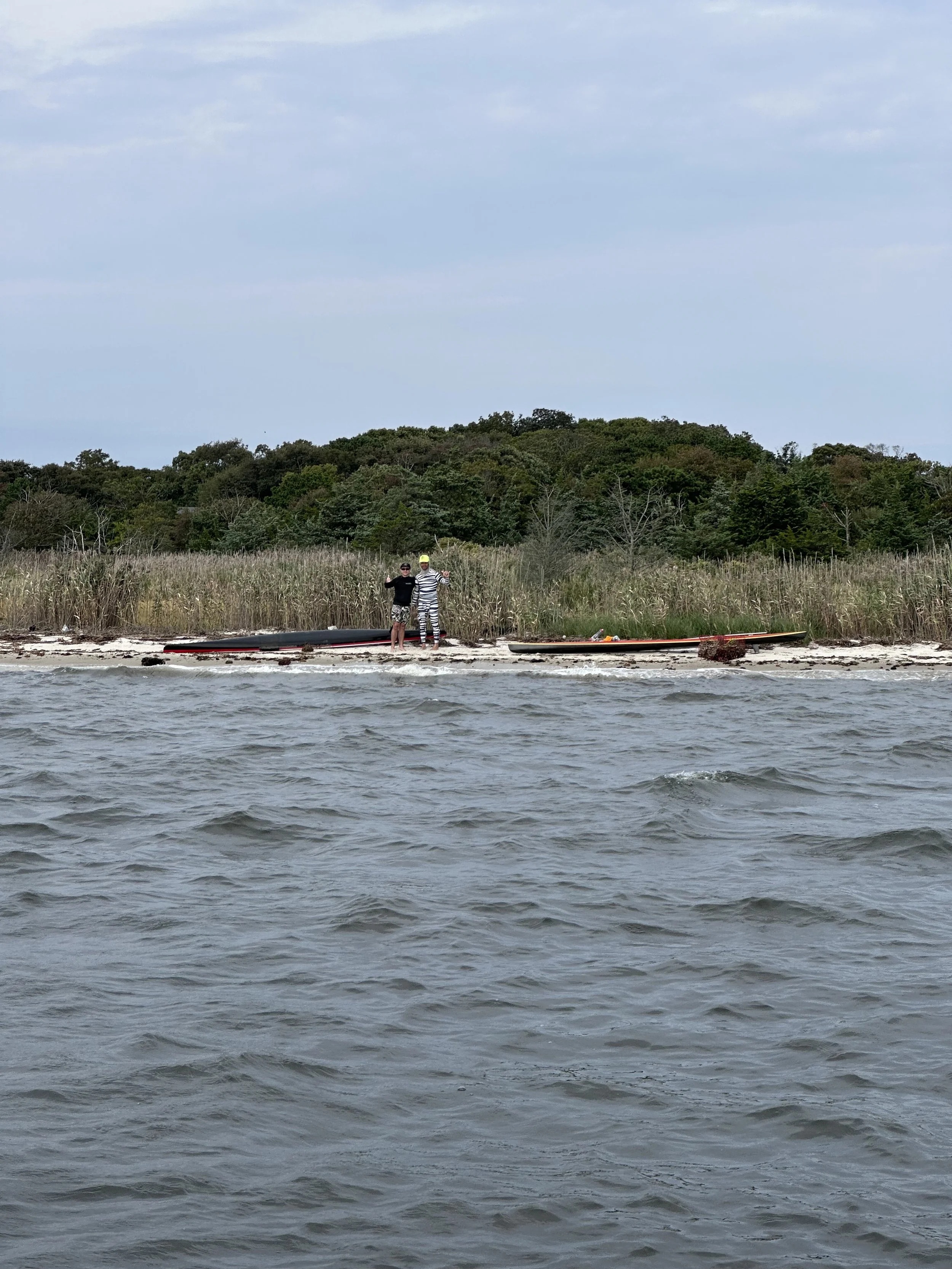
We landed exactly one mile west of Howell Point, the easternmost point of GSB proper, right by Hedges Creek in East Patchogue at about 4:15 PM. This is both a great starting point and ending point for aquatic missions in the GSB or Bellport Bay because unlike much of the surrounding coastline, it is public, undeveloped land. Jeremy led the way (as was the case for the entirety of the paddle) and waited for Kyle at the finish. All in all, it was an awesome day in the bay.