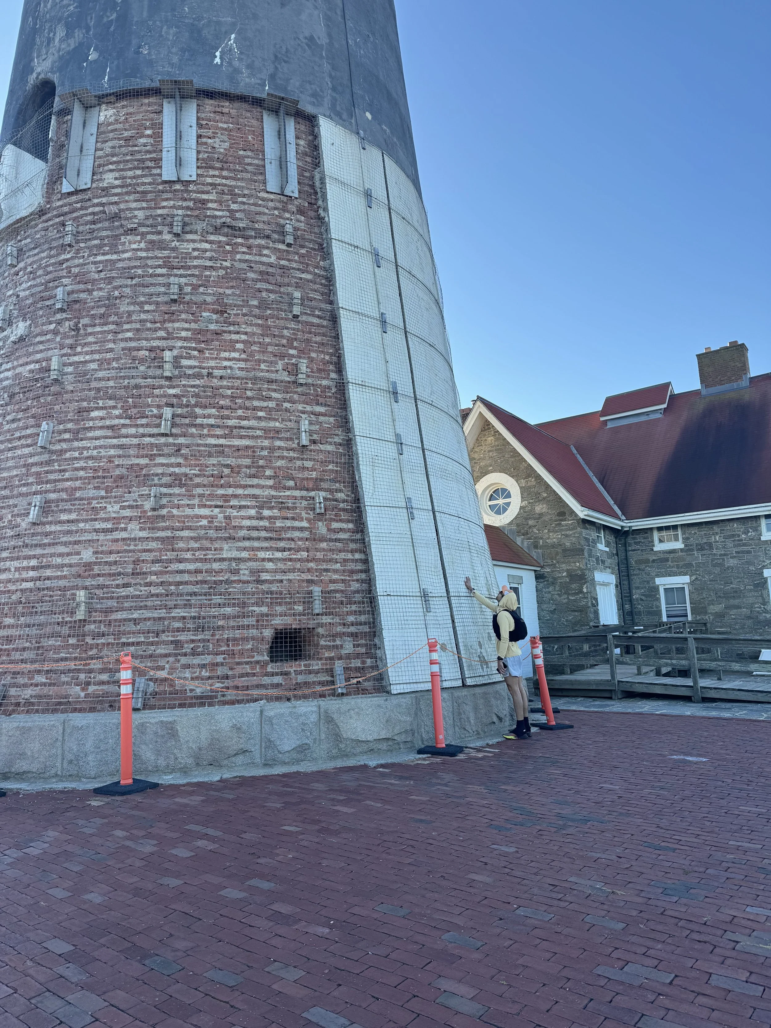
Light to Light Run (Fire Island to Montauk Pt.)


On October 11, John Troha set out and completed a run from Fire Island Lighthouse to Montauk Point Lighthouse - a staggering 90.55 mile journey completed entirely on foot. This is by far the longest run completed in Dawgpatch history, and was executed in true Point to Point fashion between the two most historic lighthouses on Long Island.
START POINT: Fire Island Lighthouse
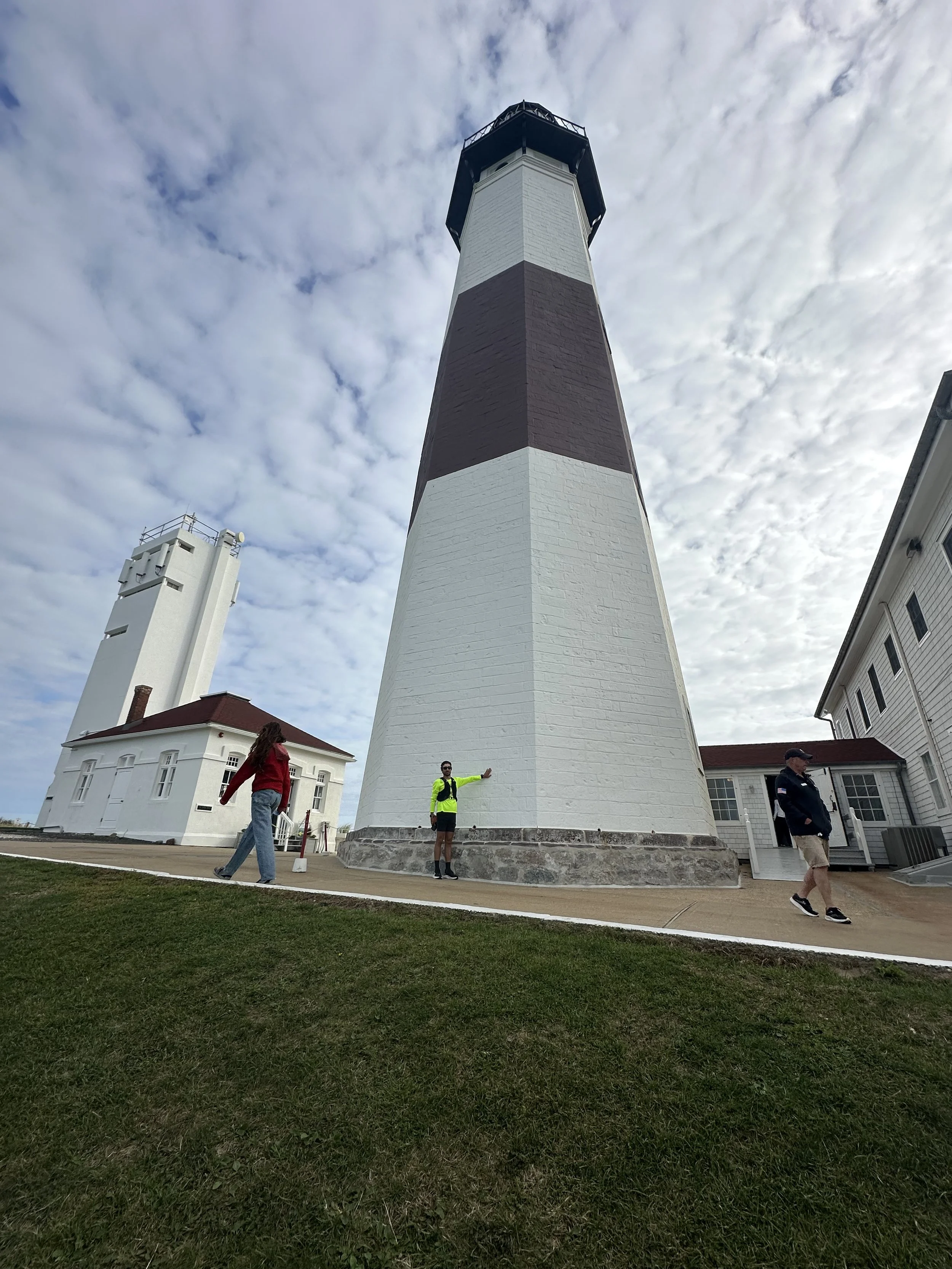
END POINT: Montauk Point Lighthouse
Mode of Travel: Run
Distance: 90.55 Miles / 145.7 km
Date of Completion: 10/11/2025
Levels of Support: Supported - Had a car loaded up with nutrition / hydration and a support crew on standby to resupply when needed.
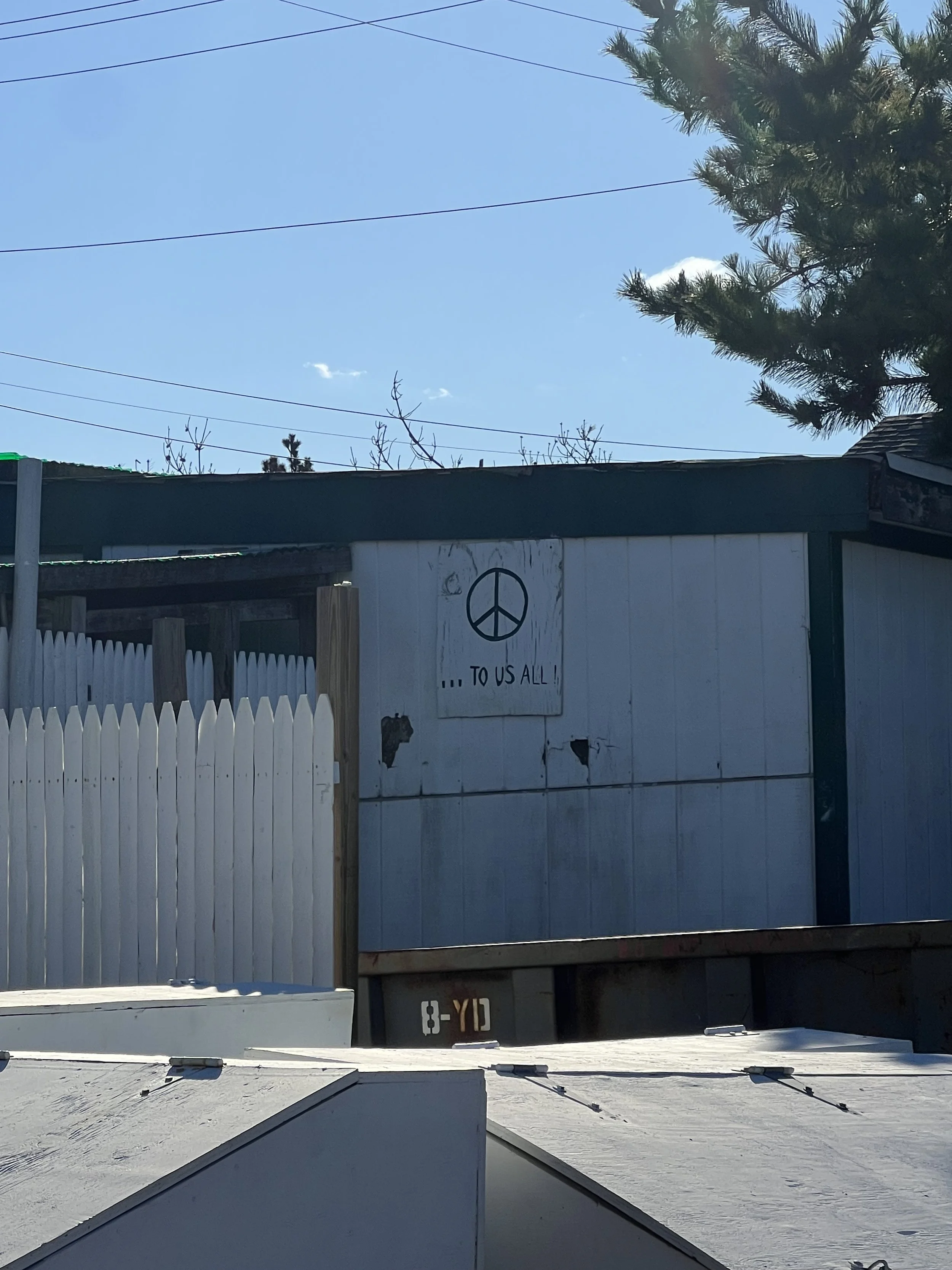
Trip Report: “Started the trip at 9AM on 10/10/25 at the Fire Island Lighthouse. The weather was perfect, cool temps and light wind. I've run through Fire Island before, so I was familiar with the terrain and the challenges it poses - mainly the soft sand and keeping it out of your shoes.
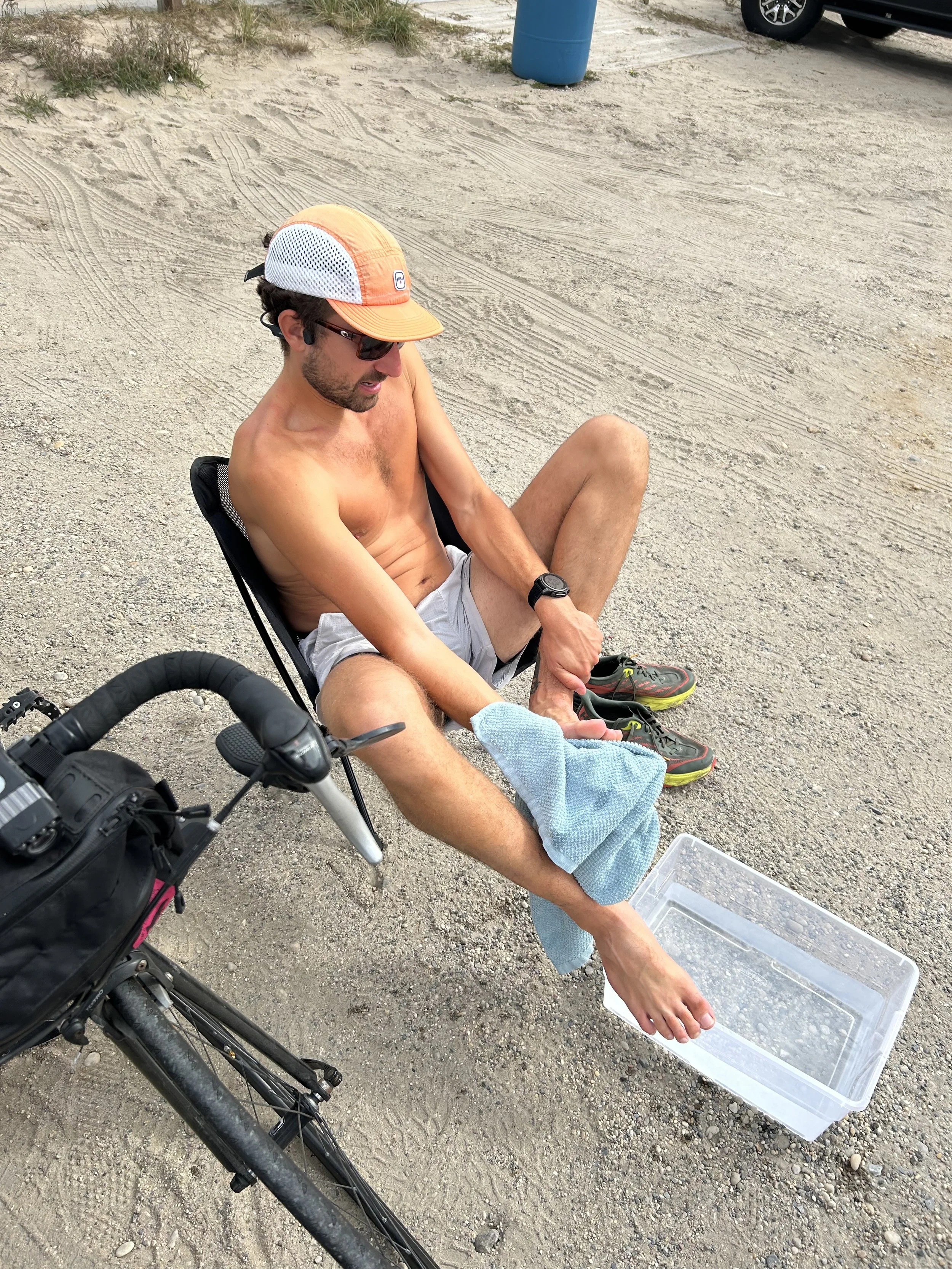

My pace across the island was much slower than I anticipated, but it was super tranquil and I really enjoyed it despite the miles of sand taking a toll on my legs early in the run.
From the Fire Island Wilderness Visitor Center at Smith's Point, it's a 5 mile false flat climb up William Floyd Parkway to reach Montauk Highway. It's east all the way from that point.

I ran until about 11:30PM when I stopped in Southampton to sleep for a few hours at an inn right off Montauk that my support crew was also crashing at. Then, picked up right where I left off just before sunrise.
It was another beautiful day, I really lucked out with the weather for this one. Once I came through the stretch between Amagansett and Montauk Saturday afternoon, I was excited to continue down Old Montauk Highway and enjoy the ocean views.
The miles from town to the Lighthouse were surprisingly enjoyable, and were actually some of my fastest splits of the whole run. It was surreal to finally complete this "Light to Light" link-up, it was an idea for so long and I'm really proud of how it all came together in the end. Huge thanks to my support crew James & Matt for helping me get there.” - John Troha


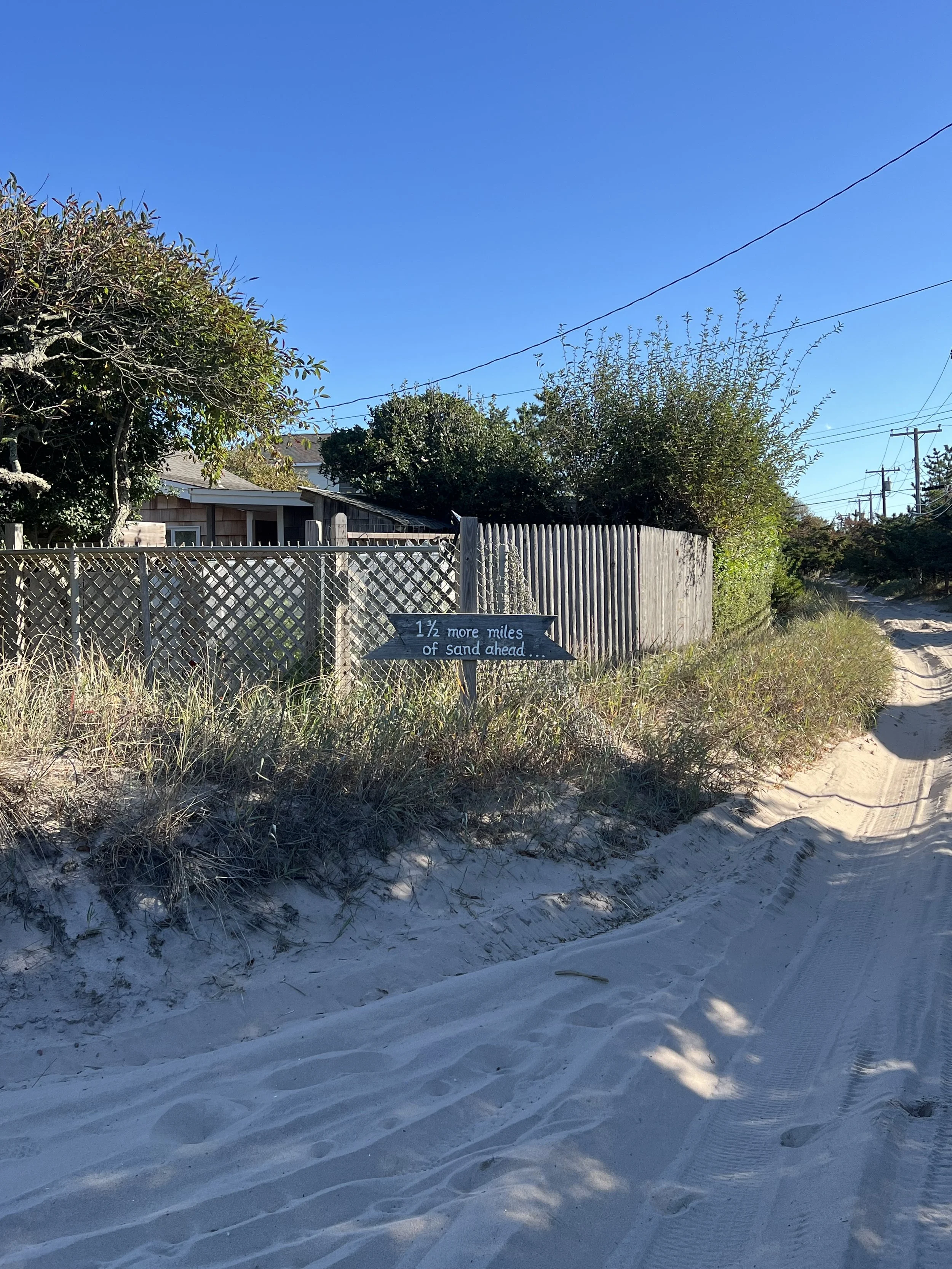
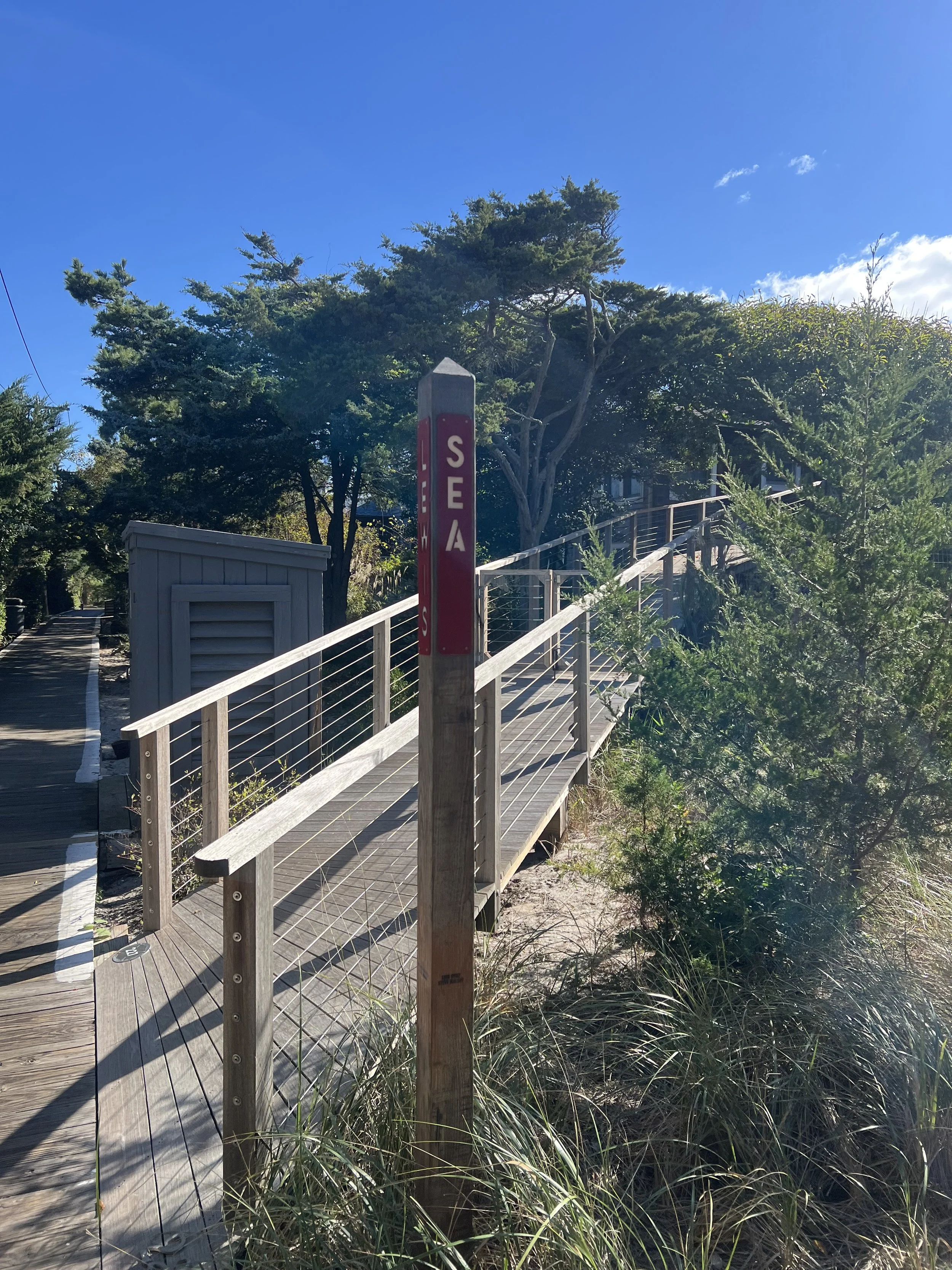
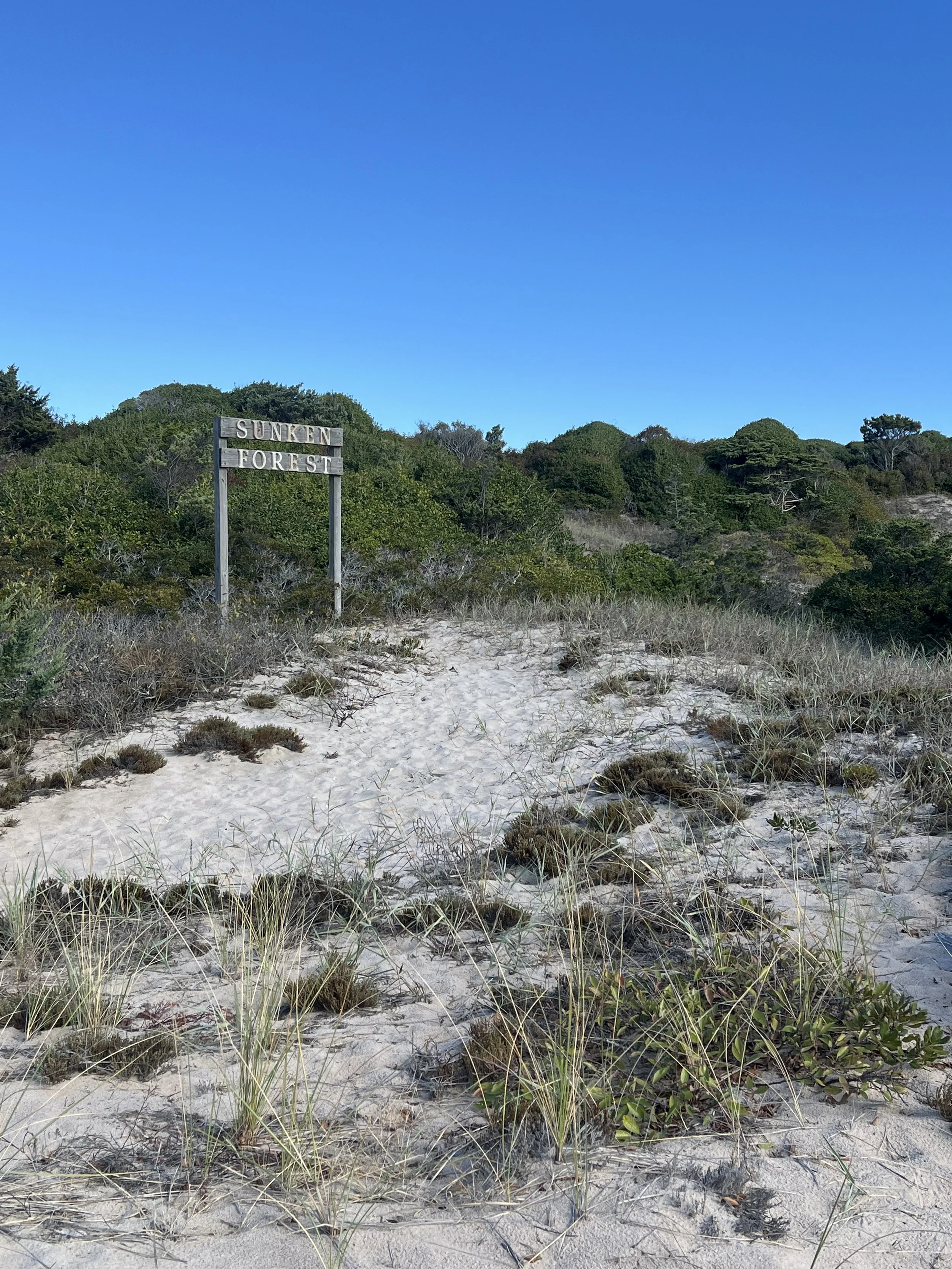
Additional Details: This 90 mile point to point route links the two most historic Lighthouses on Long Island via Fire Island National Seashore and Montauk Highway. The first 21 miles cross almost the entirety of Fire Island National Seashore and is composed of a mix of gravel, boardwalk and loose sand.
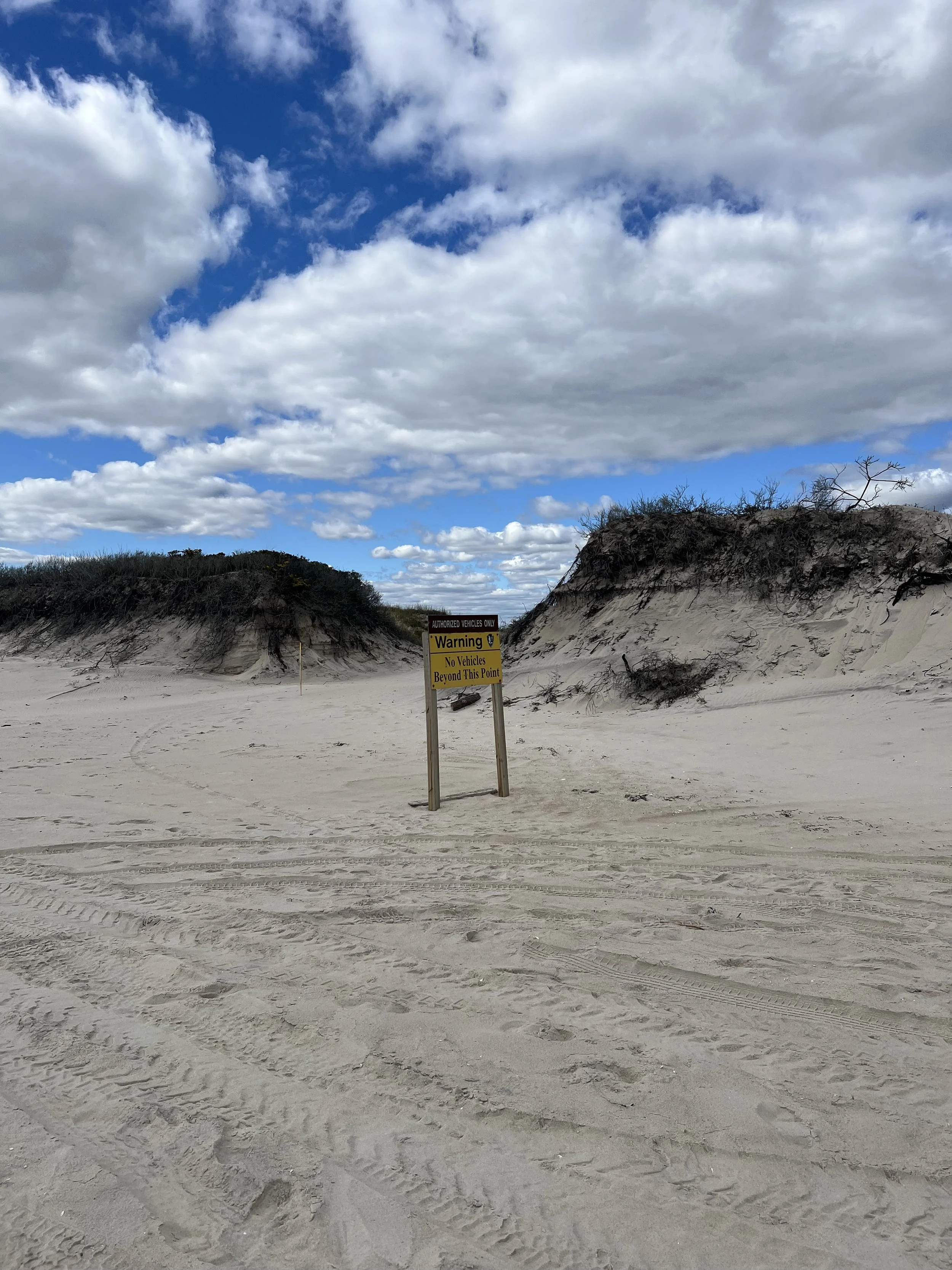
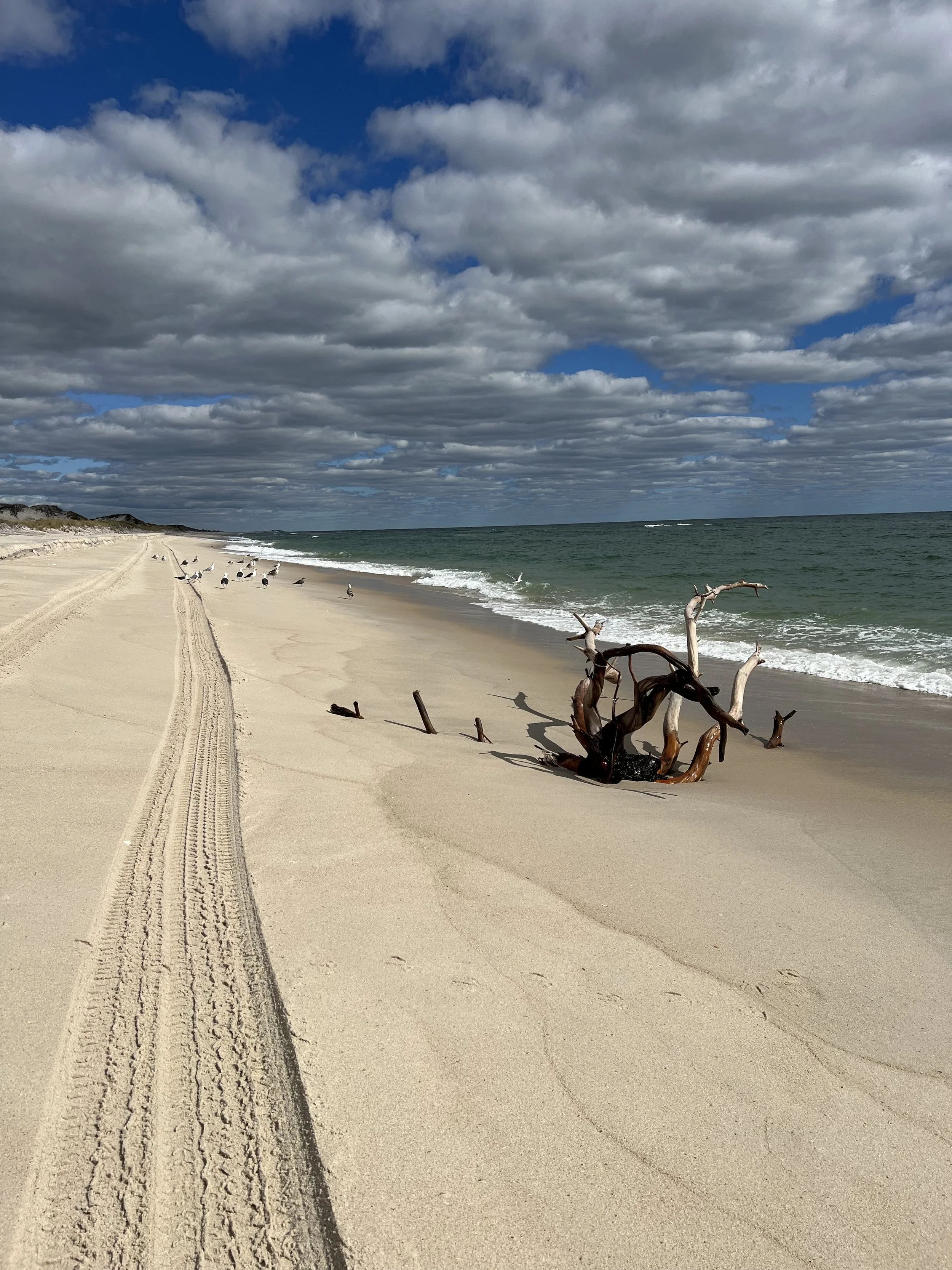
The final 7 miles of this sector crosses the Otis Pike High Dune Wilderness Area - The only federally designated wilderness area in New York State, and is 100% loose shorefront sands. Access to this area is limited to foot traffic from Watch Hill to Smith's Point - make sure you have enough food and water to get through this area, it is completely desolate and there is nowhere to resupply.
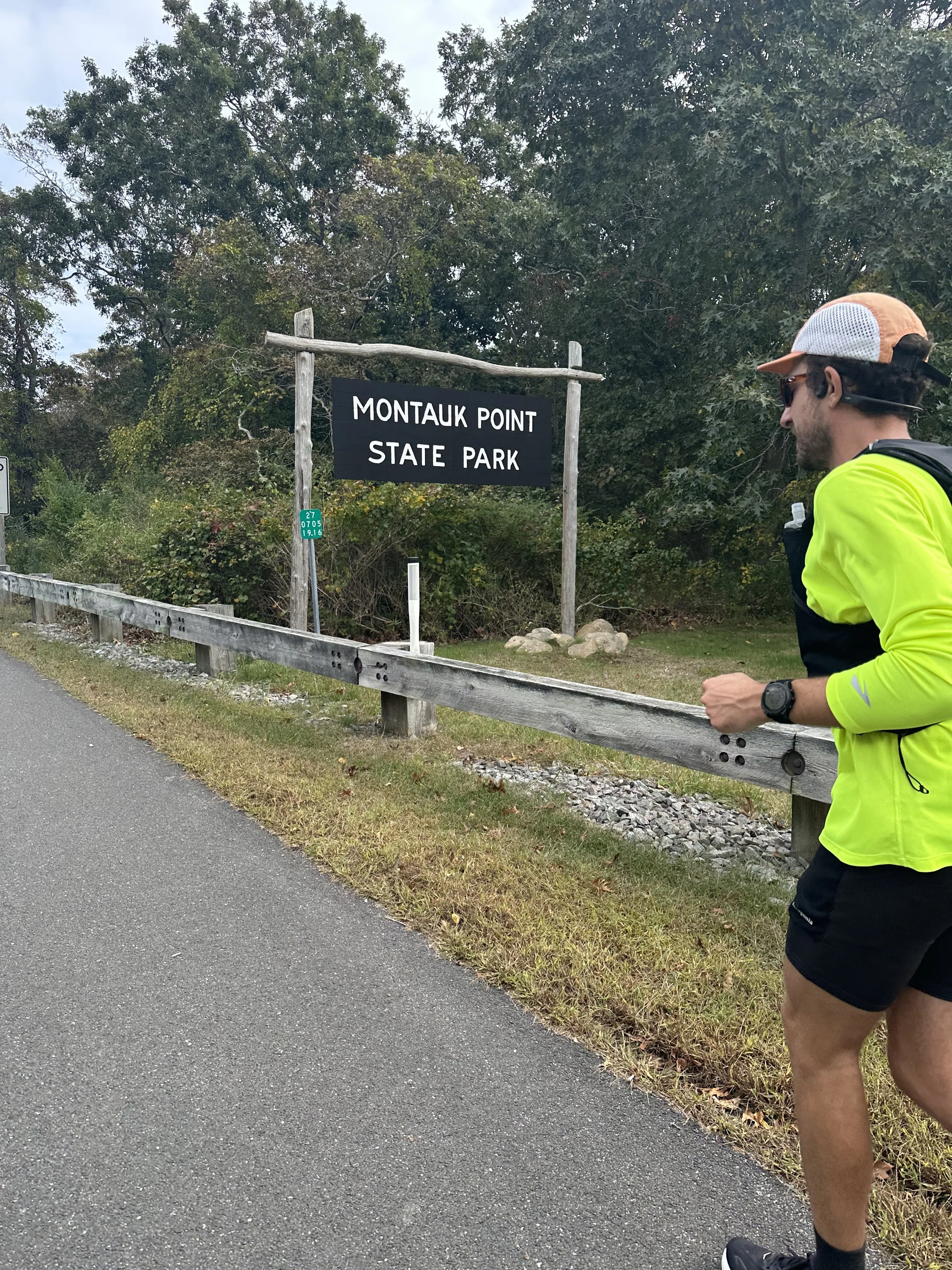
From the Wilderness Area Welcome Center at Smith's Point, it's paved roads all the way to Montauk via Willam Floyd Parkway and Montauk Highway. The route passes through scenic East End towns and villages as well as vineyards and farm lands. The route ends at the lighthouse in Montauk Point State Park - the views are incredible and it is a perfect ending to this amazing route.