Water Access Project


Project: “Water Access” Project
Dawgpatch Bandits is teaming up with local municipalities to help preserve and promote public water access on Long Island. Water access points are the gateway to one of our greatest natural recreational resources, the bays and ocean. Paddling, swimming, rowing and other water based activities provide a positive mental health outlet for those living in our east end community, and maintaining access to the water is fundamental in keeping those activities free and open to the public.
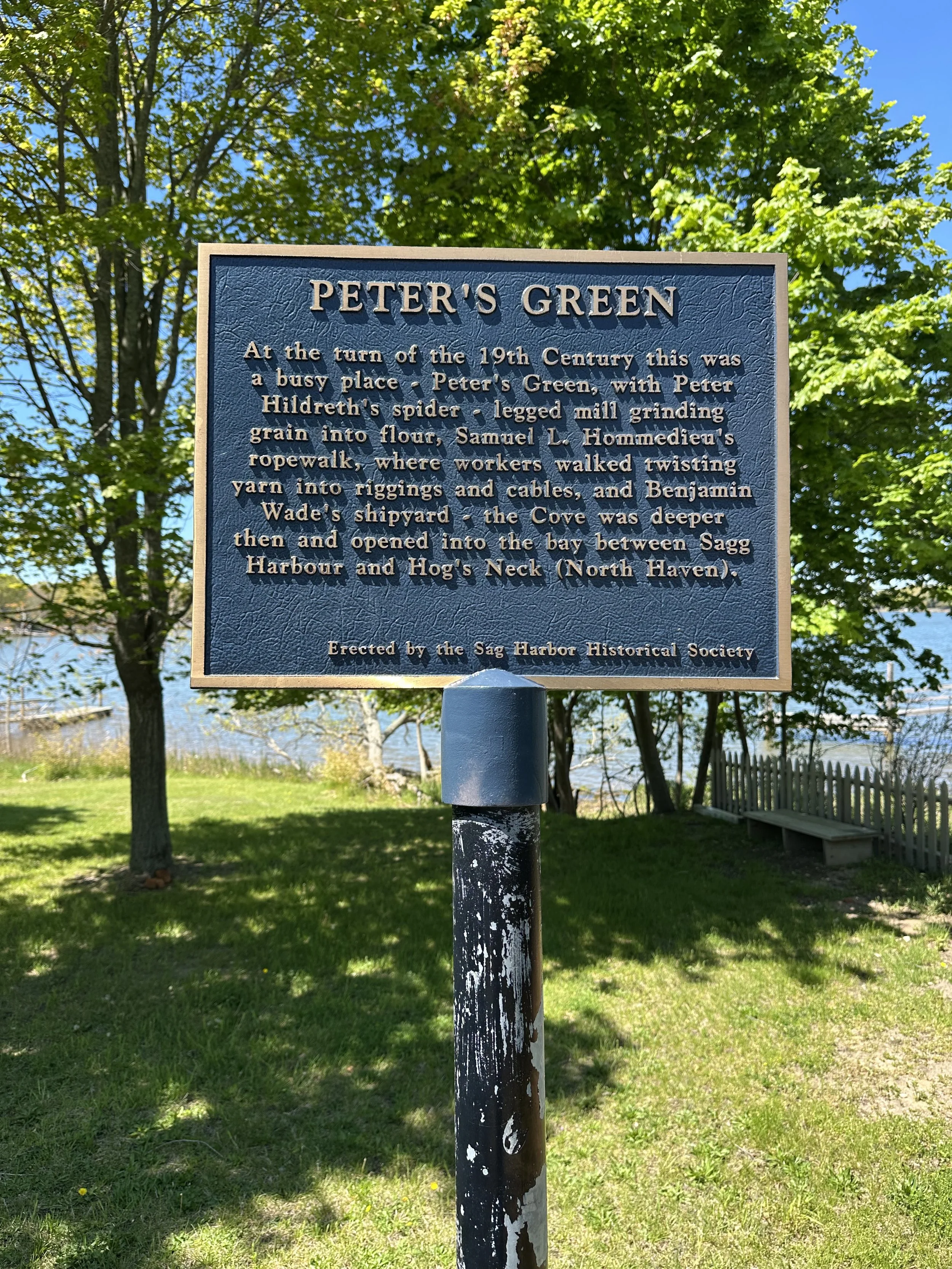
These public rights of ways have also long been an essential resource for generations of local baymen to access the water for clamming, crabbing and fishing. By preserving these historic public right of ways and marking them as such, baymen can not be denied access to their livelihood as Sag Harbor continues to grow and develop.
Installed Locations (Sag Harbor, NY)
Amherst Rd.
Dartmouth Rd.
Notre Dame Rd.
John Street
Yale Rd.
Green Street
Additional Proposed Locations (Sag Harbor, NY)
Cove Rd. (North End)
Cove Rd. (South End)
Morris Cove Ln.
White Street
Harding Terrace (East End)
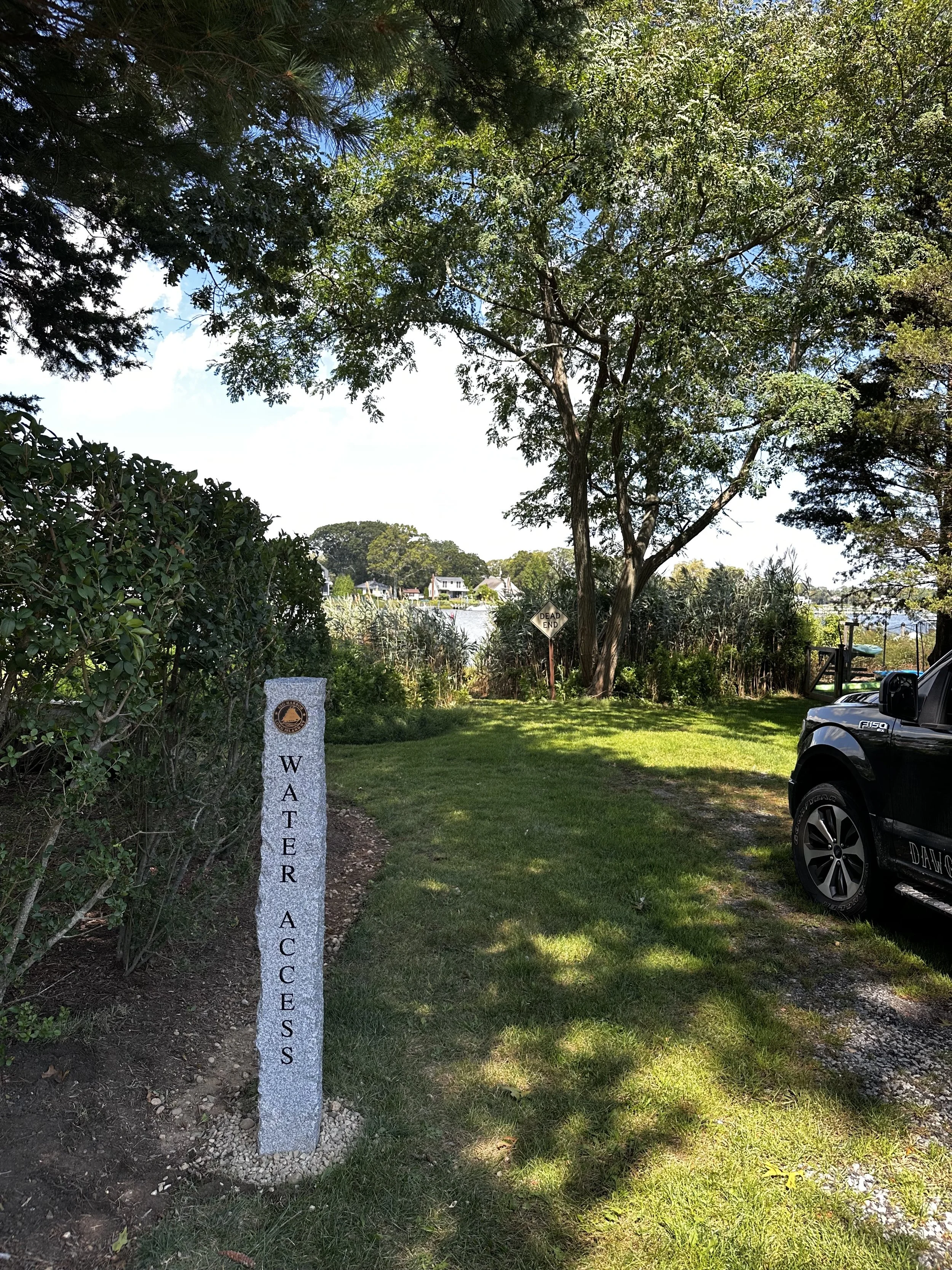
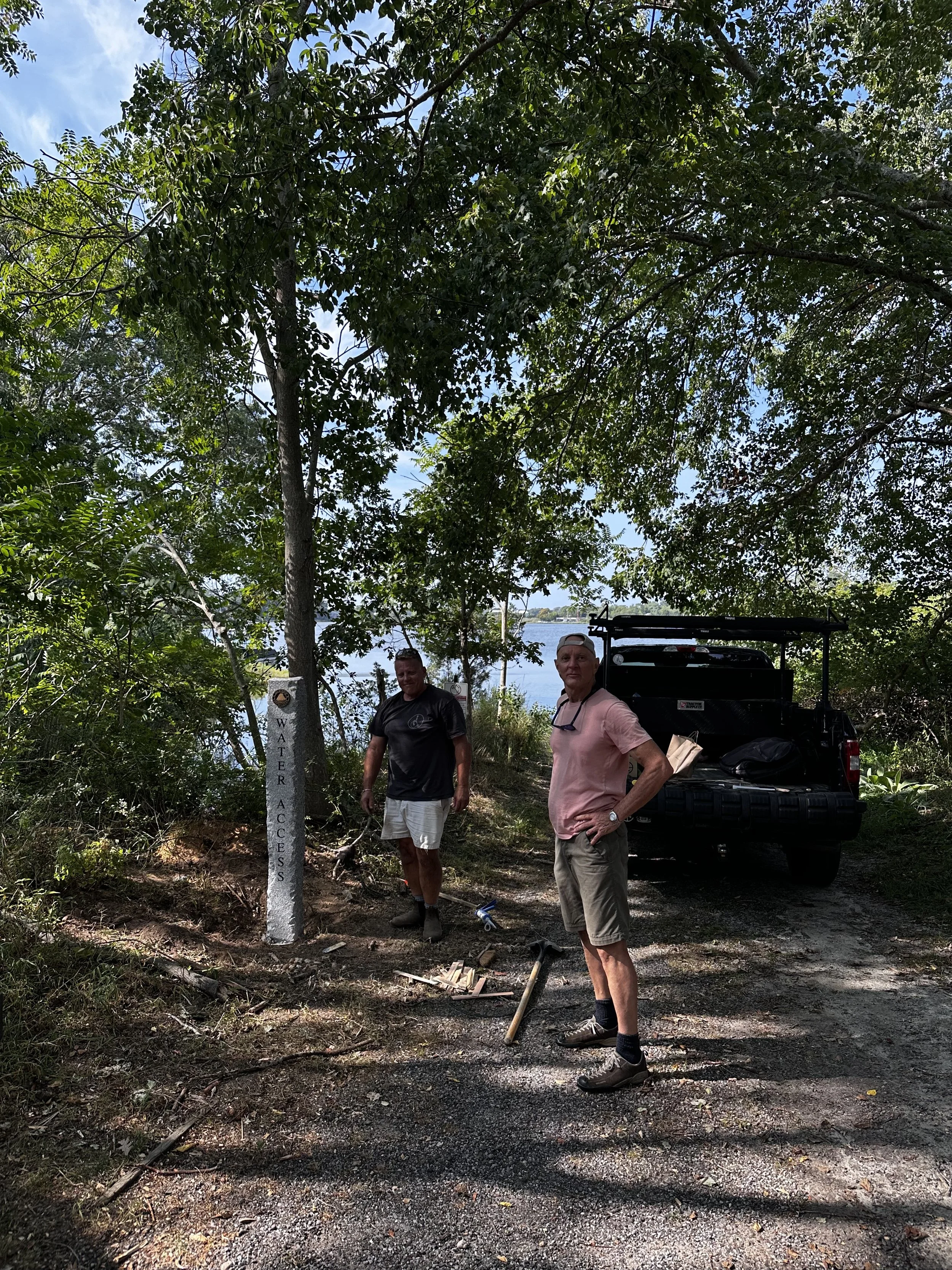
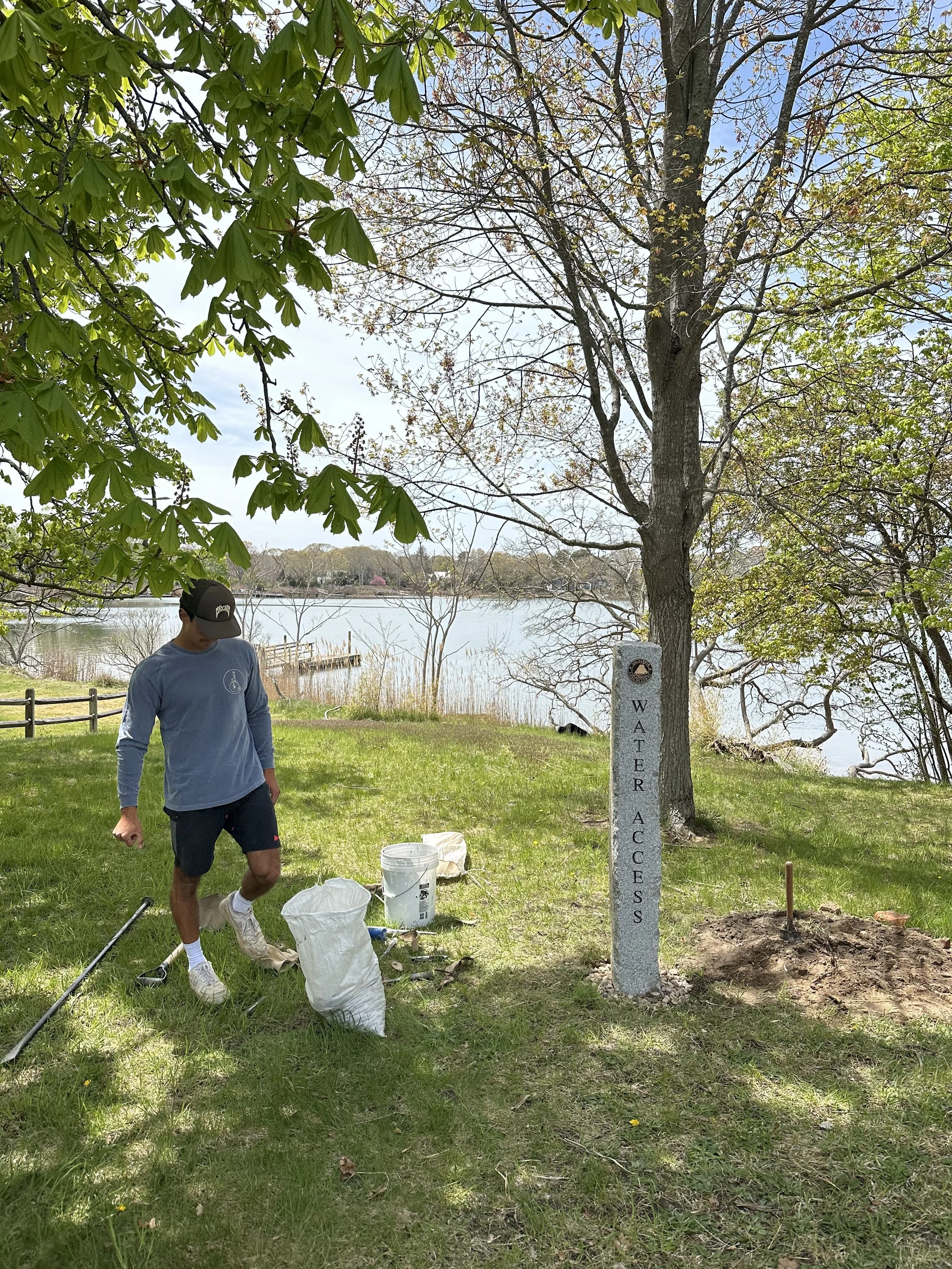
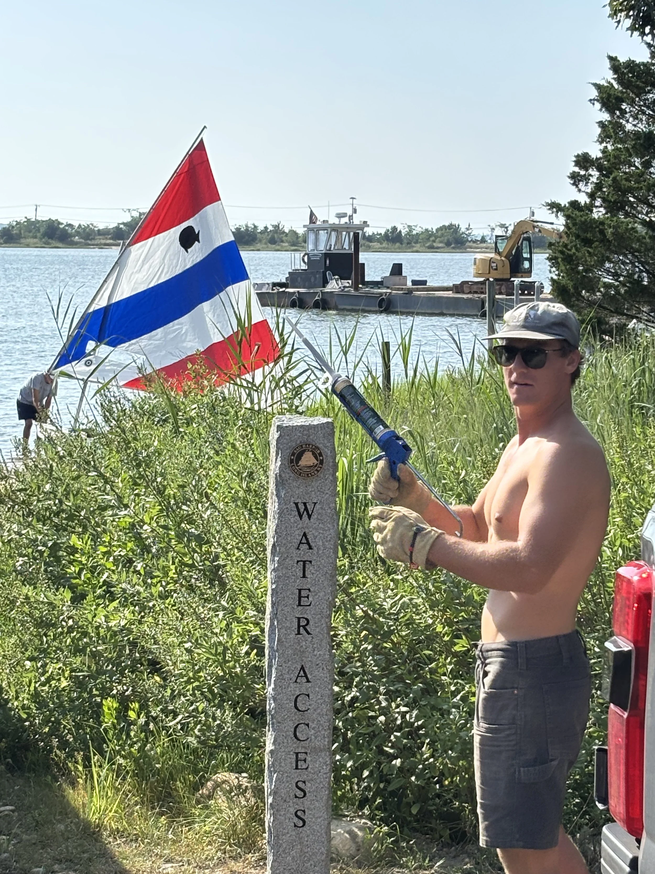
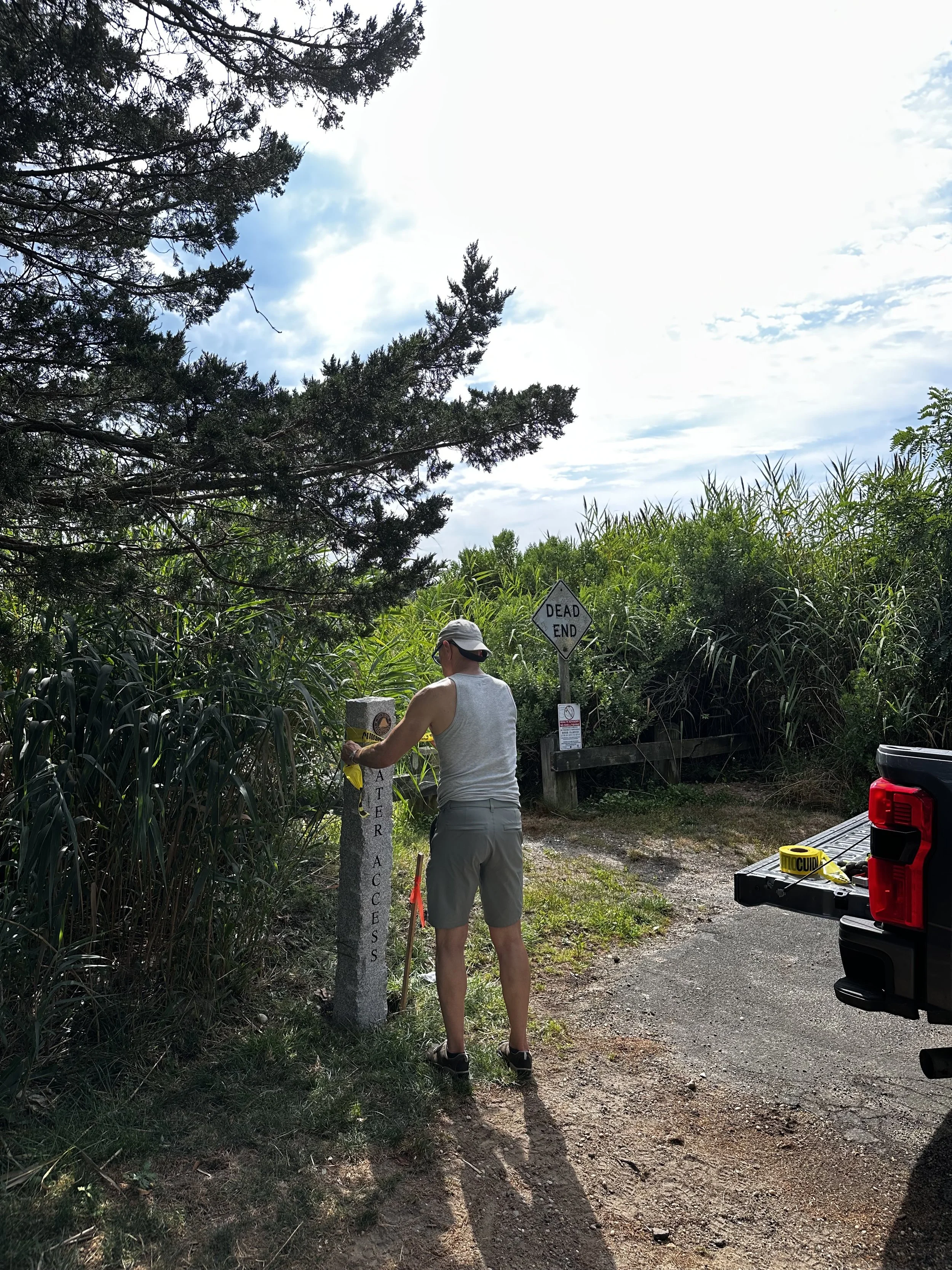
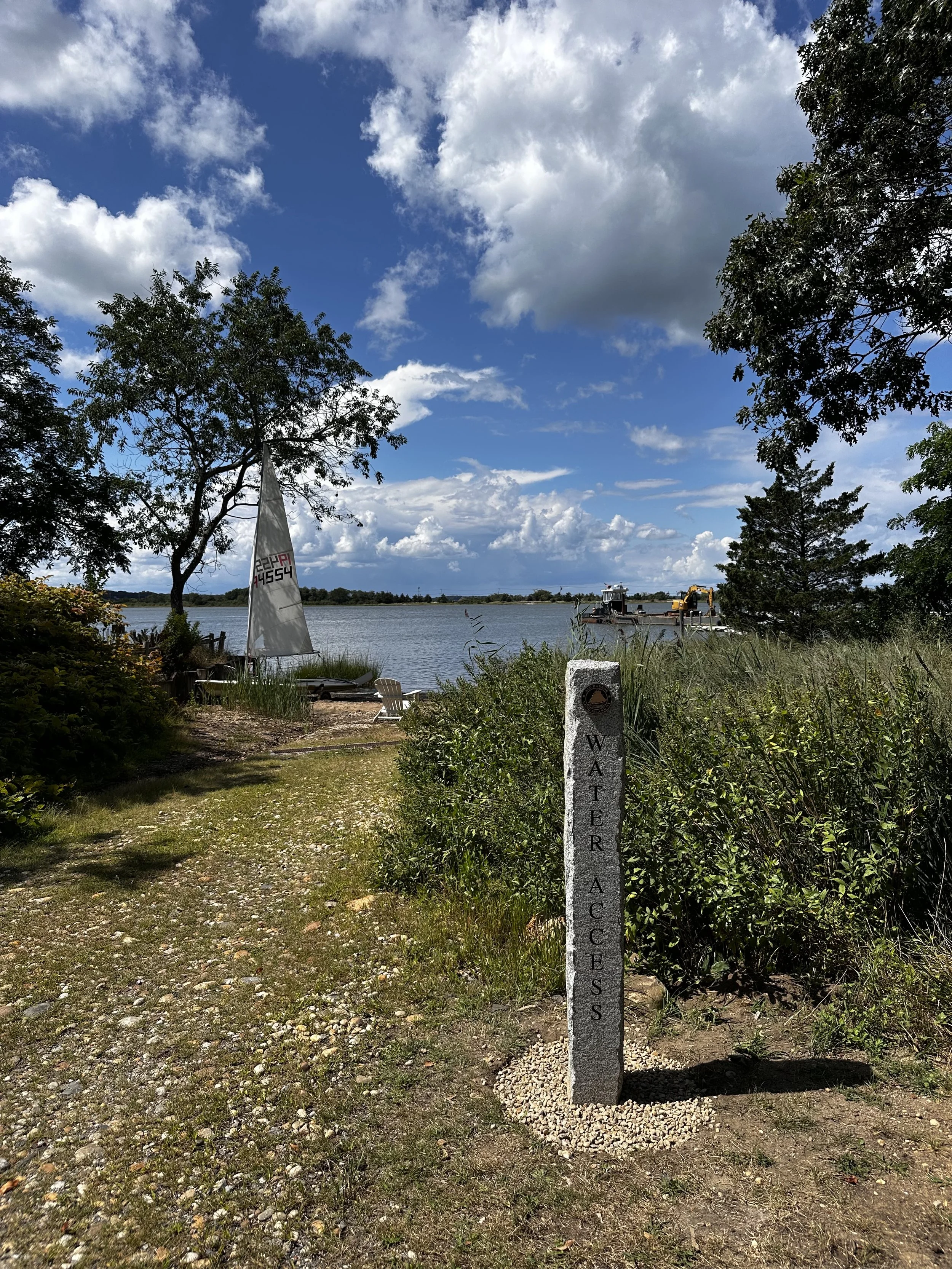
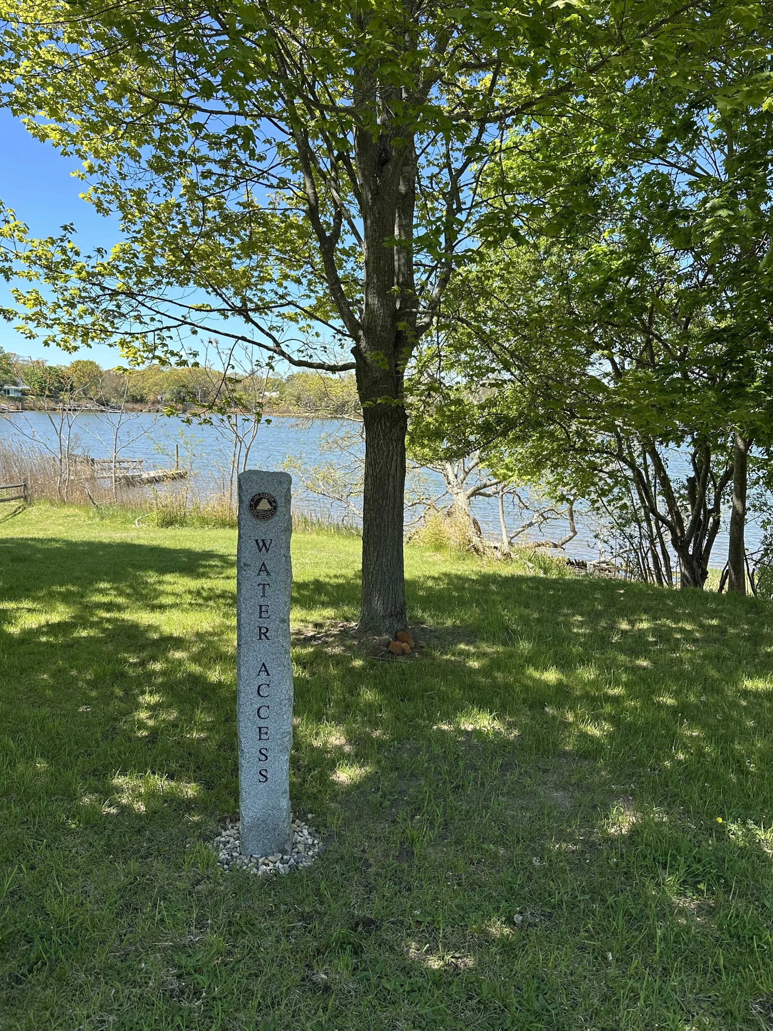
Project Description: To survey and mark each of these locations with appropriate approved signage as “Village of Sag Harbor Water Access Points.”
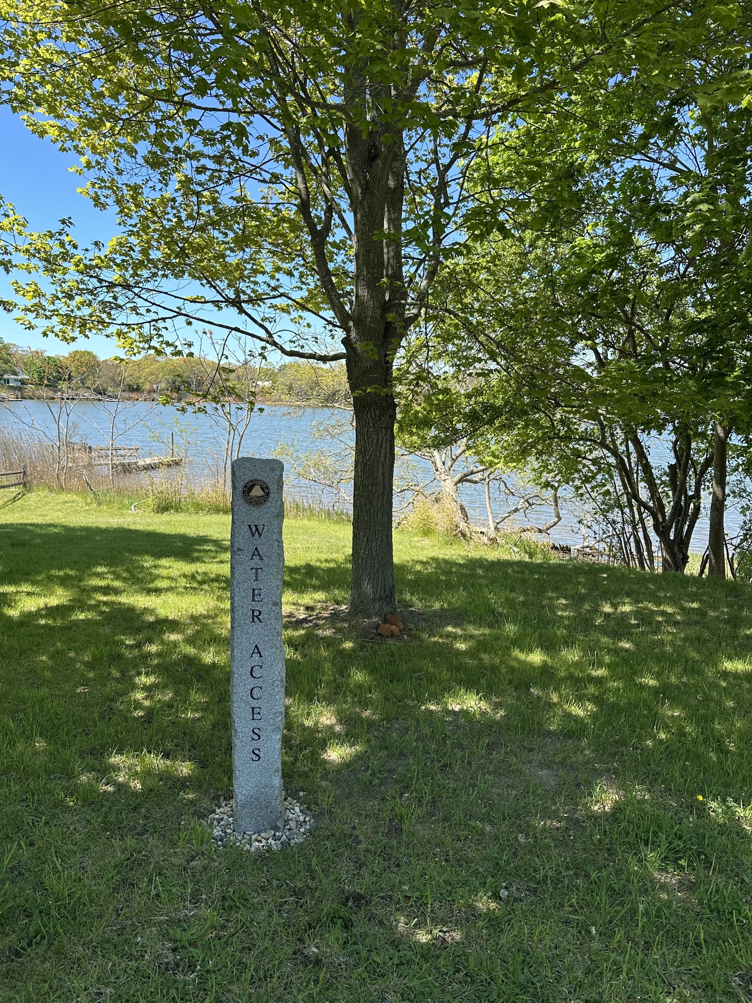
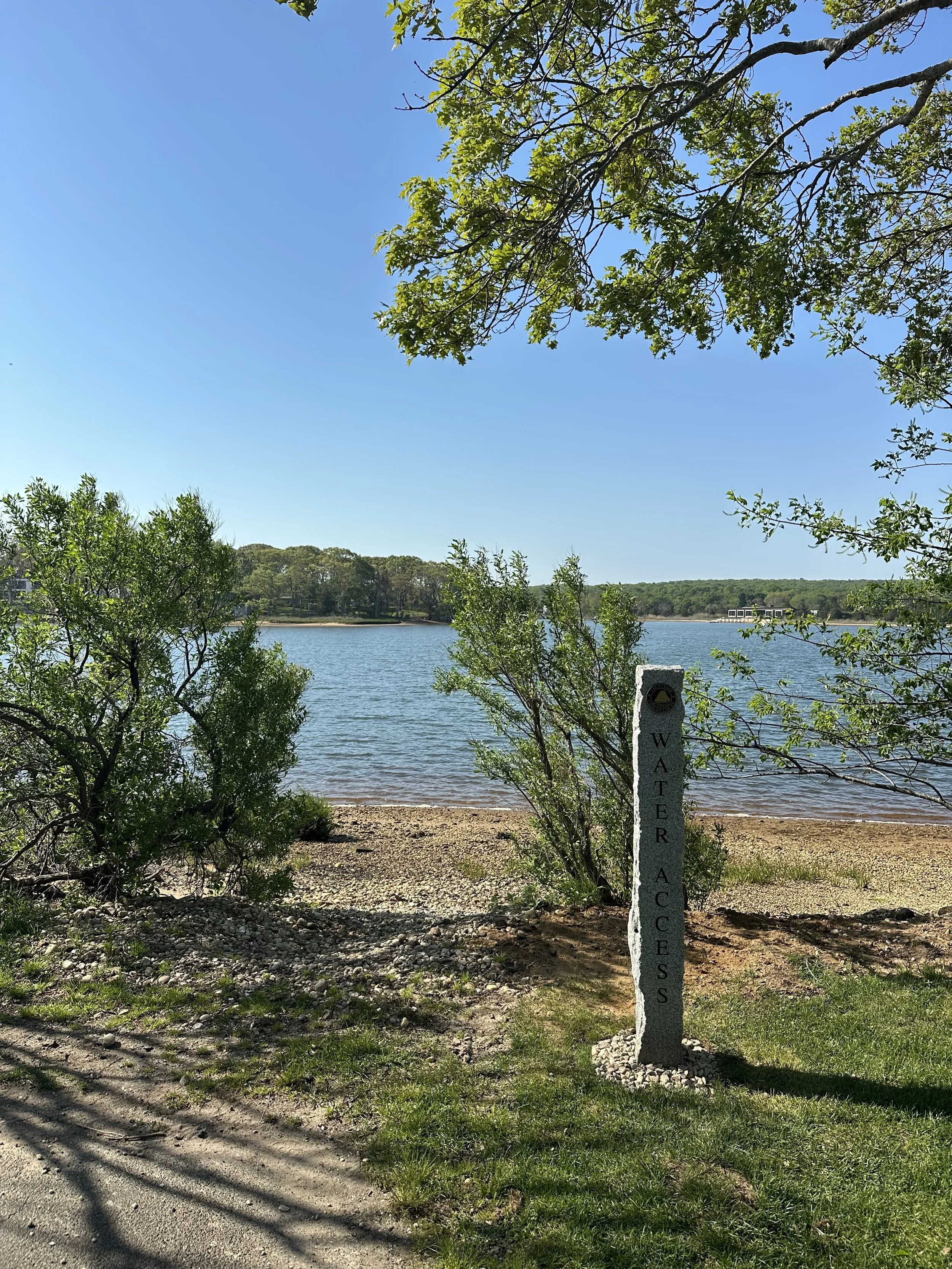
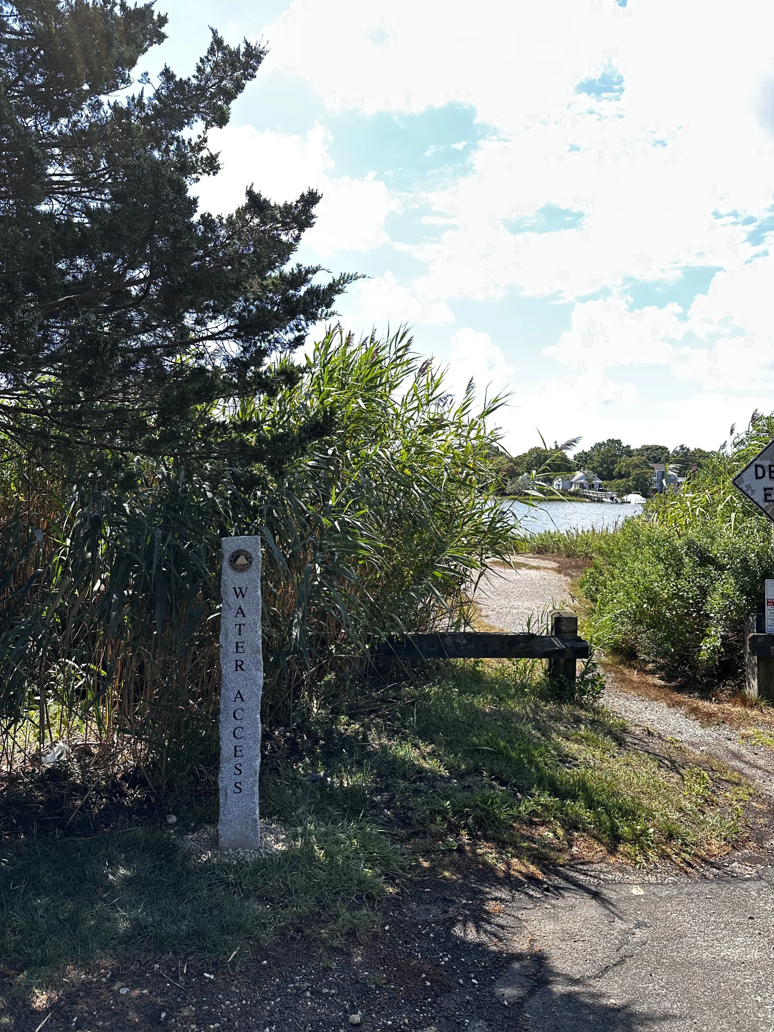
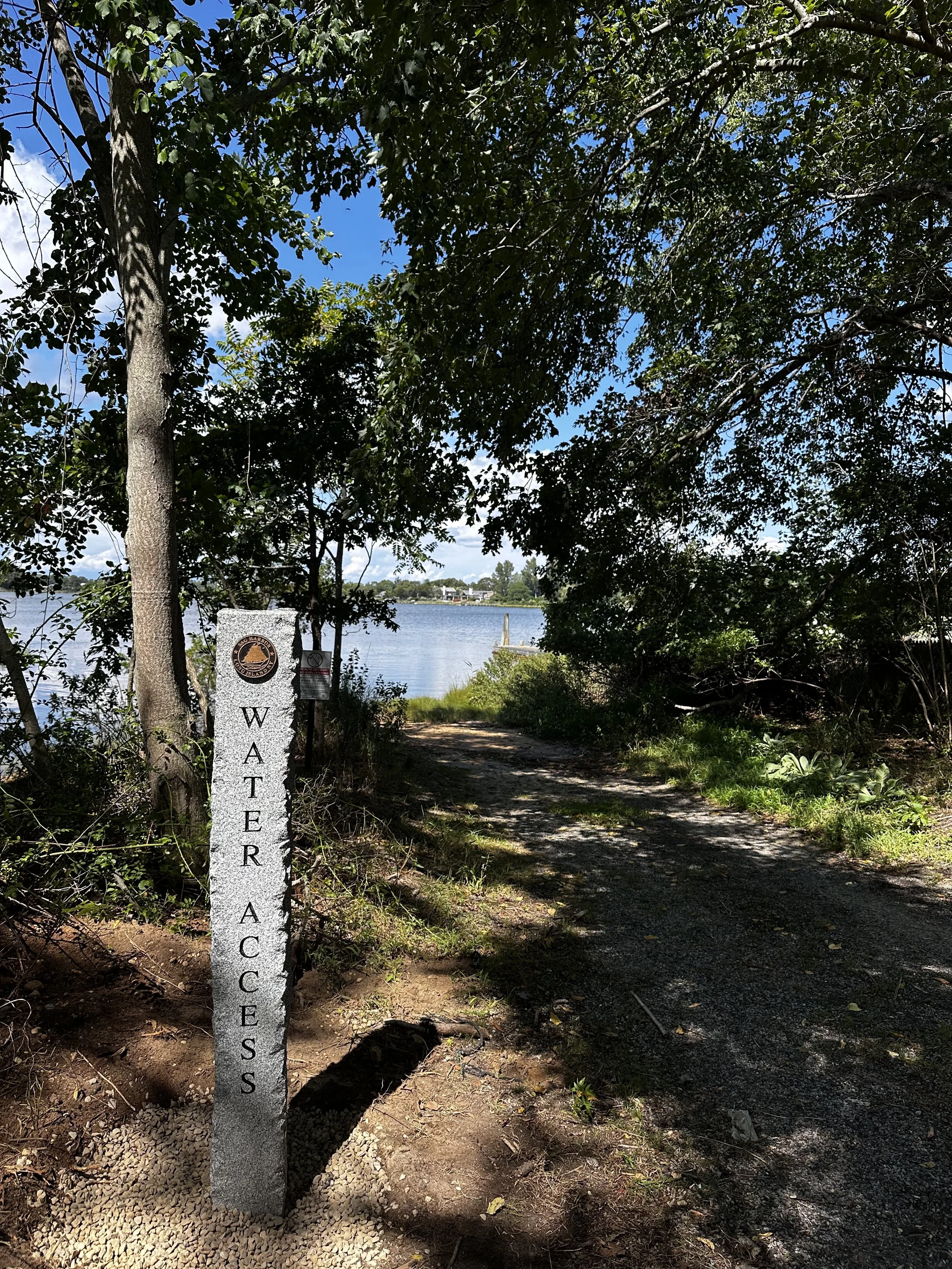
Proposed Signage: Engraved granite hitching post.
Sign Components: Village of Sag Harbor Seal with “WATER ACCESS” engraving.
Goal: The surveying and marking of these Water Access Points for the public is an essential step to ensure their existence for generations to come in the continued growth and development of Sag Harbor. The increased awareness of these sites may also encourage preservation, maintenance and improvements of these sites, and similar sites in the future.
Process:
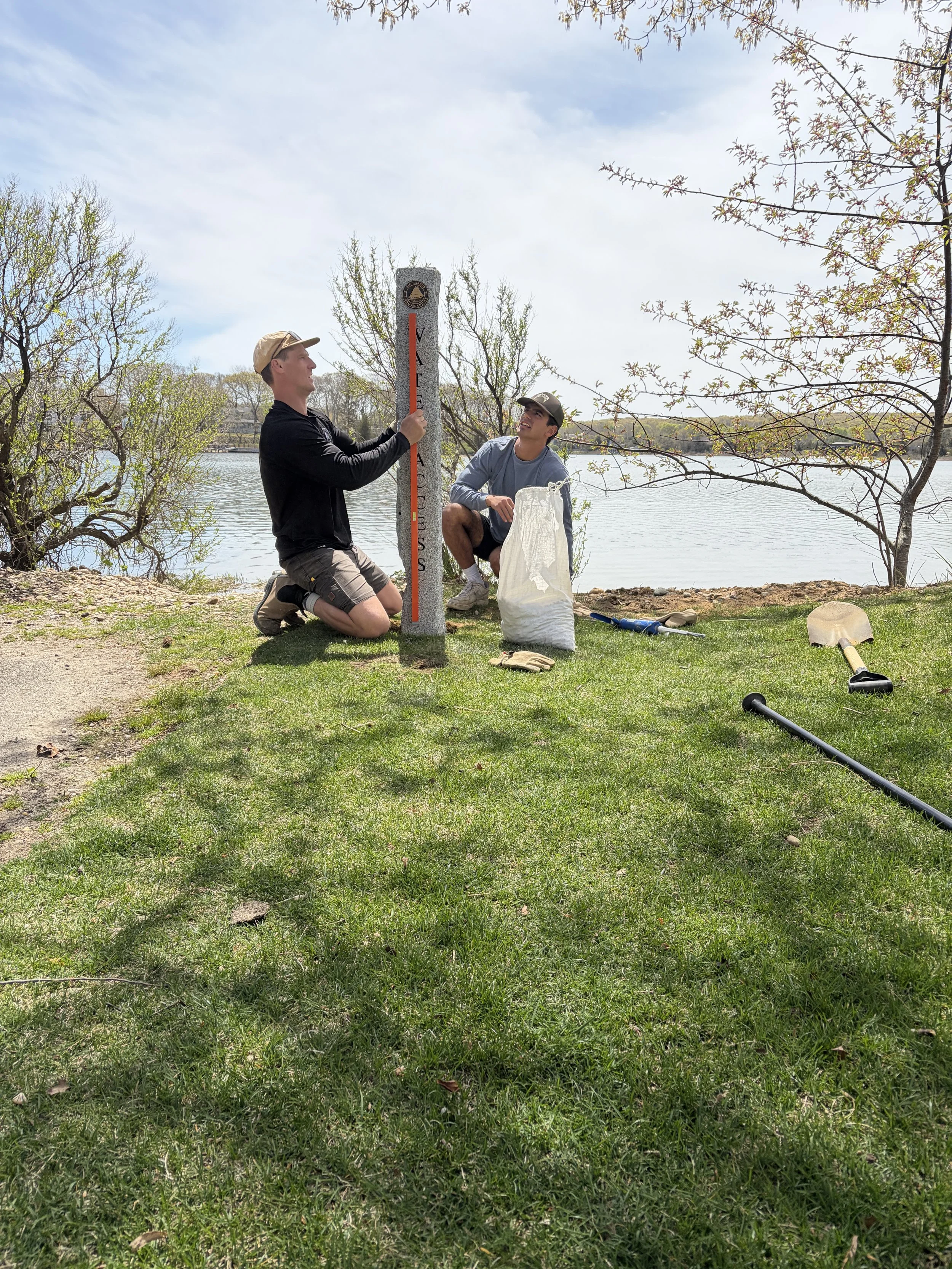
Municipal approval for proposed signage i.e. material, size, aesthetic.
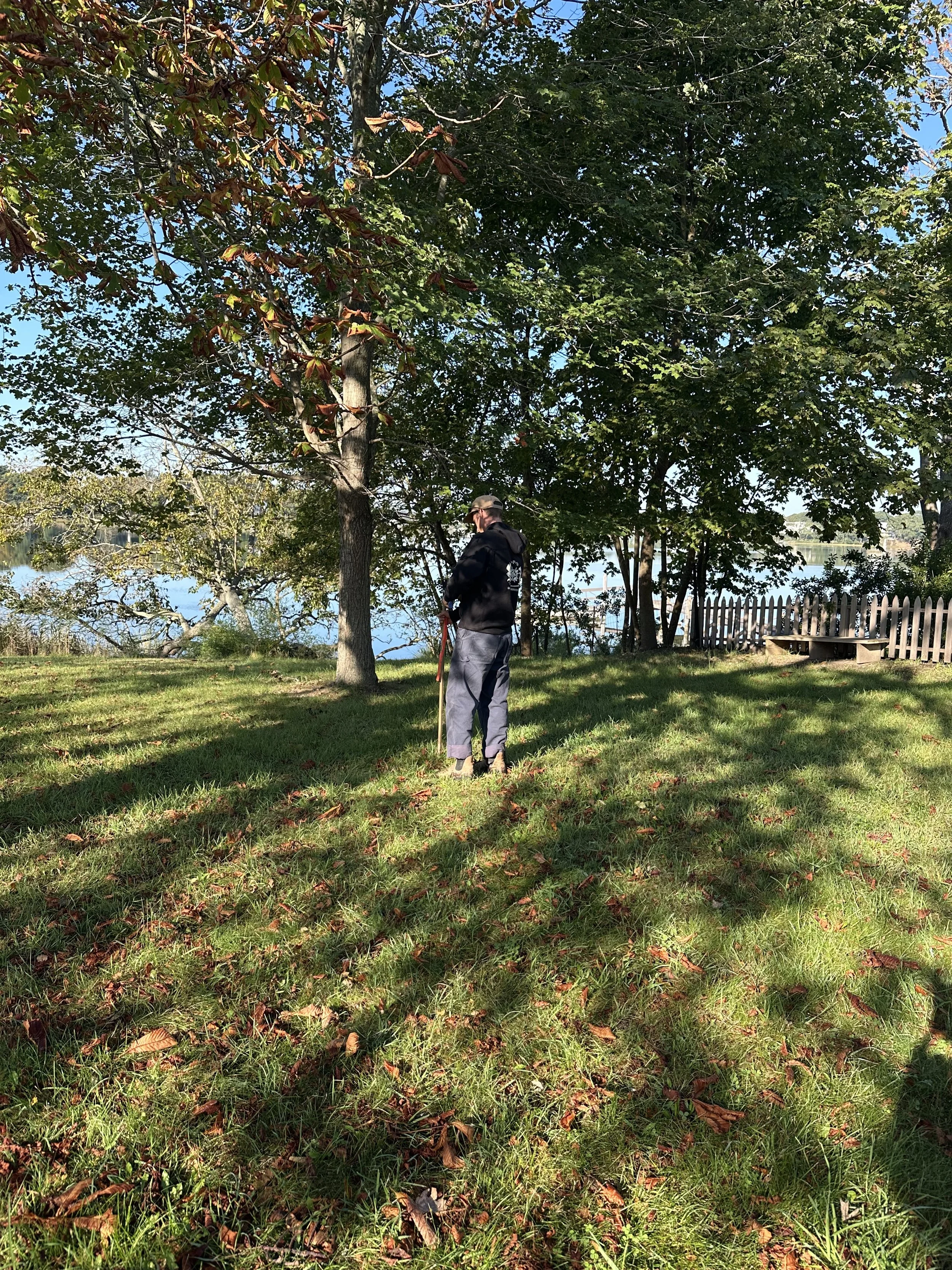
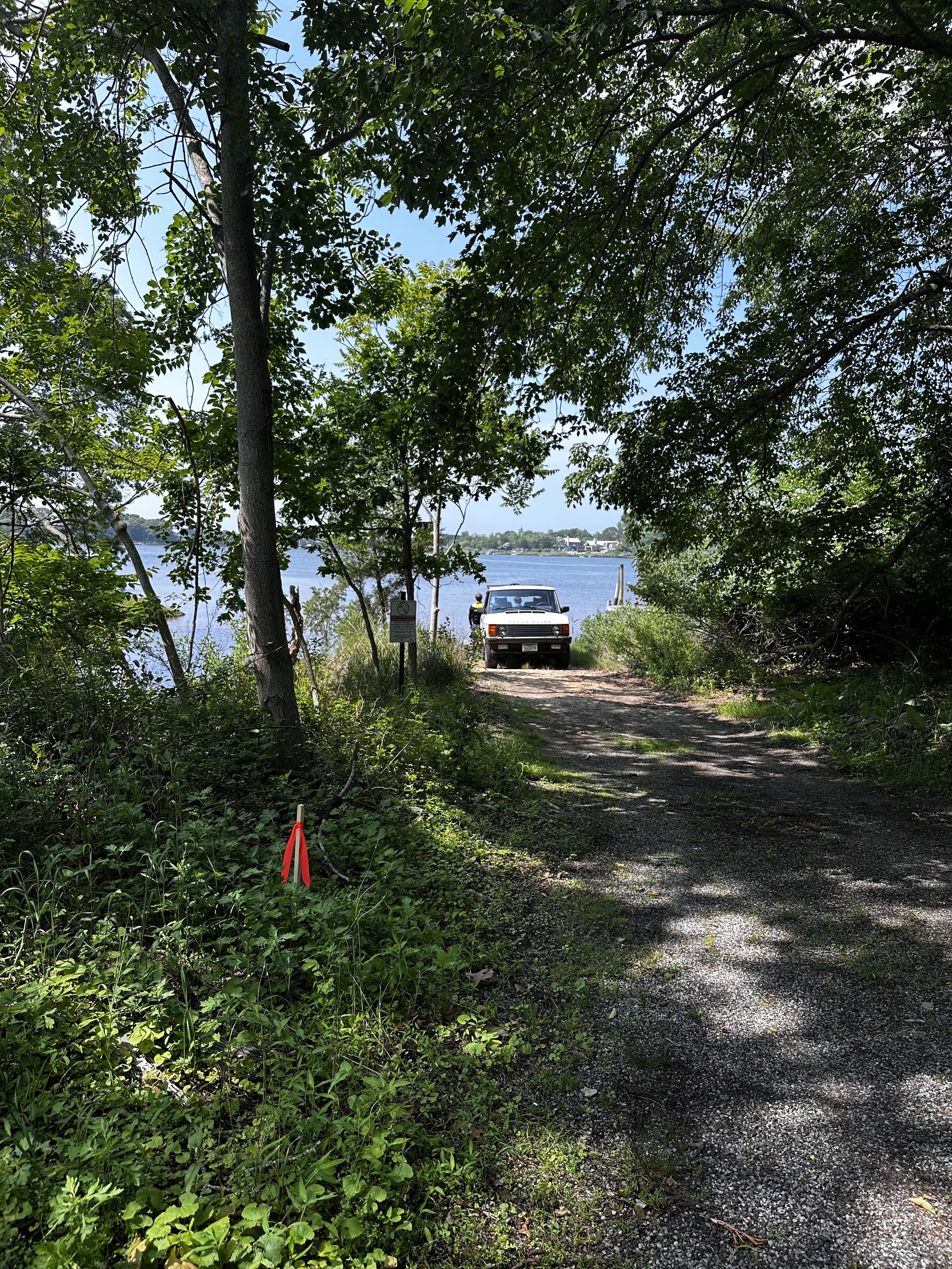
Use current GIS data or approved surveyor to verify public access right of ways and easements to the water/beach.
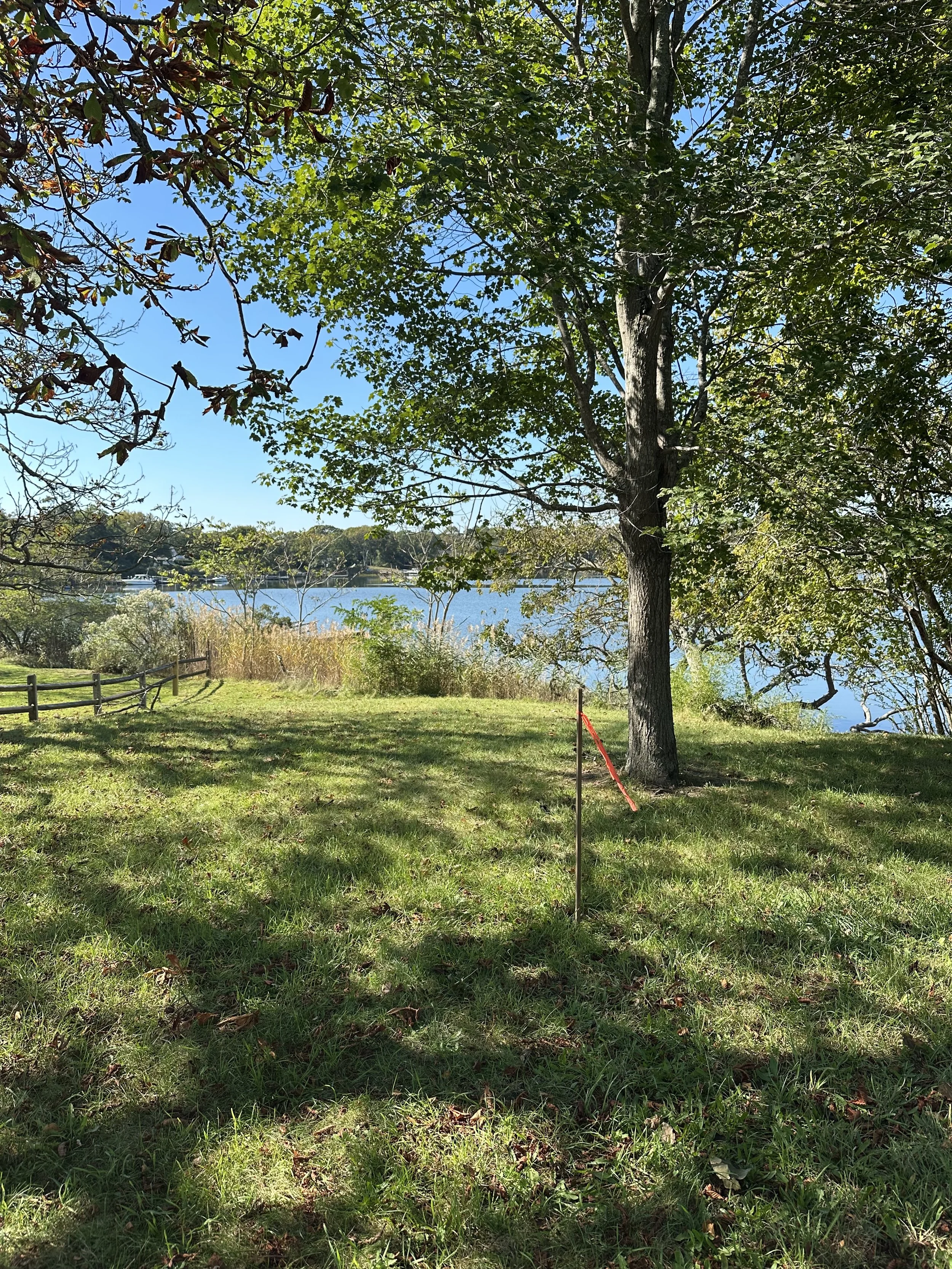
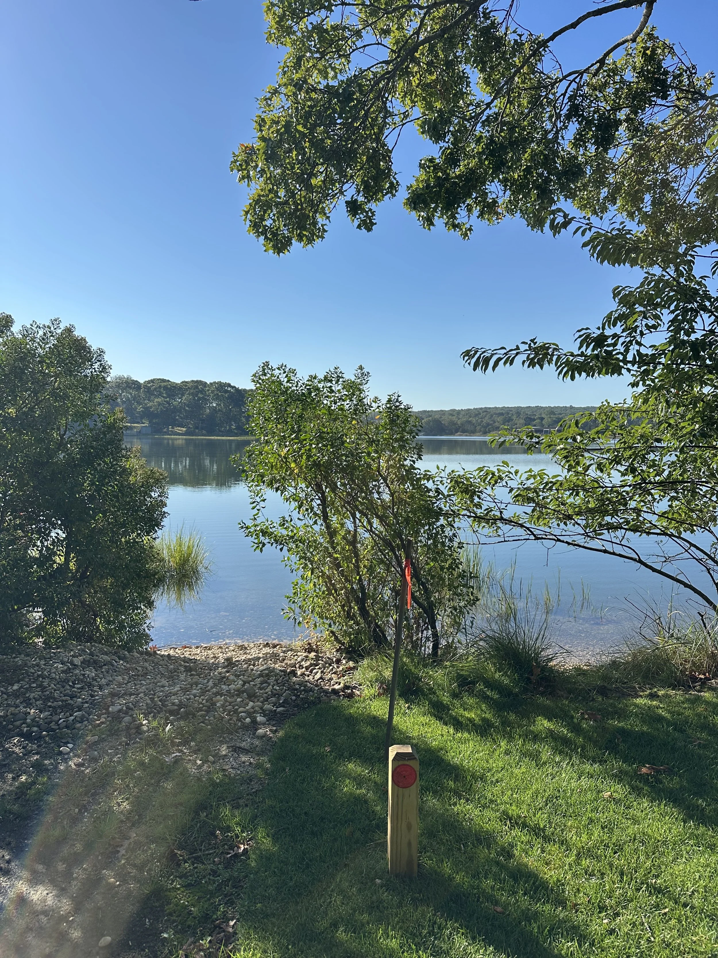
Flag the proposed locations of each access marker with the consulting architect.
Show the proposed location of each stone marker on site plan and survey.
Seek review and approval of each flagged location prior to installation.
Install granite posts.
Have surveyors update and provide an ‘as built’ final survey.
Additional Information:
Project Manager: Drew Harvey (Dawgpatch Bandits Inc.)
Consulting Architect: DD Harvey Architects
All consulting work, materials and labor has been done by 501(c)3 nonprofit, Dawgpatch Bandits Inc.